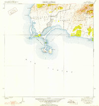
1938 Map of Cabo Rojo
USGS Topo · Published 1952About this map
Cabo Rojo defines the southwestern extreme of Puerto Rico, where the island's coastline meets the Mar Caribe. This late 1930s topography, revised shortly after the war, captures a landscape of salt pans and rugged coastal points. Between the expansive waters of Bahía Salinas and Bahía Sucia, the land narrows to the iconic limestone headland. Inland, the terrain rises sharply toward Sierra Bermeja, while the low-lying Llanos Costa stretches across the interior plains.
Find a feature on this map
18 named features on this map. Tap any name to fly to it.
Don’t see what you’re looking for? This feature index may not catch every label — zoom into the map to look around manually.
Map Details
Editions of this 1938 Cabo Rojo Map
5 editions found
Other maps of this area

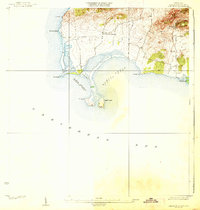
1935 · Puerto Real
USGS Topo · 1:25,000

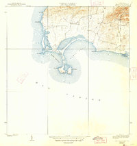
1937 · San German
USGS Topo · 1:25,000

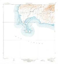
1937 · Puerto Real
USGS Topo · 1:25,000

1938 · Parguera
USGS Topo · 1:30,000

1938 · Cabo Rojo
USGS Topo · 1:30,000

1941 · San German
USGS Topo · 1:30,000

1941 · Puerto Real
USGS Topo · 1:30,000
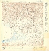
1949 · Puerto Real SE
USGS Topo · 1:10,000
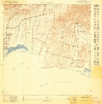
1949 · Cabo Rojo NE
USGS Topo · 1:10,000
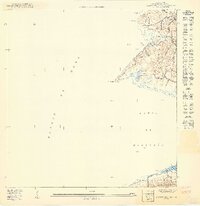
1949 · Puerto Real SO
USGS Topo · 1:10,000
Featured Places
- La Pitahaya, Cabo Rojo
- Urbanización Paseo Cofresí, Cabo Rojo
- Las Palmas, Cabo Rojo
- Boquerón, Cabo Rojo
- El Corozo, Cabo Rojo