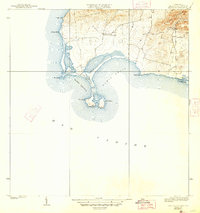
1938 Map of Cabo Rojo
USGS Topo · Published 1947About this map
The southwestern tip of Puerto Rico is dominated by the prominent headland of Cabo Rojo, where a historic Faro stands guard over the meeting of the Bahia Salinas and Bahia Sucia. This 1935 topographic survey captures the area's coastal geography before significant modern development, showing a landscape defined by salt flats, rocky points, and the rising elevations of the Sierra Bermeja to the northeast. Small-scale human activity is visible in the rural community of Las Palmas and at the Escuela Sebastian Pabon Alvido, which served the local families of this arid coastal region. The map details numerous coastal features including Pta Melones and Pta Pitahaya, illustrating the intricate shoreline where the land meets the Mar Caribe.
Find a feature on this map
15 named features on this map. Tap any name to fly to it.
Don’t see what you’re looking for? This feature index may not catch every label — zoom into the map to look around manually.
Map Details
Editions of this 1938 Cabo Rojo Map
5 editions found
Other maps of this area

1935 · Puerto Real
USGS Topo · 1:25,000

1937 · San German
USGS Topo · 1:25,000

1937 · Puerto Real
USGS Topo · 1:25,000

1938 · Parguera
USGS Topo · 1:30,000

1938 · Cabo Rojo
USGS Topo · 1:30,000

1941 · San German
USGS Topo · 1:30,000

1941 · Puerto Real
USGS Topo · 1:30,000
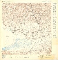
1949 · Puerto Real SE
USGS Topo · 1:10,000
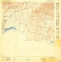
1949 · Cabo Rojo NE
USGS Topo · 1:10,000
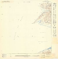
1949 · Puerto Real SO
USGS Topo · 1:10,000
Featured Places
- La Pitahaya, Cabo Rojo
- Urbanización Paseo Cofresí, Cabo Rojo
- Las Palmas, Cabo Rojo
- Boquerón, Cabo Rojo
- El Corozo, Cabo Rojo