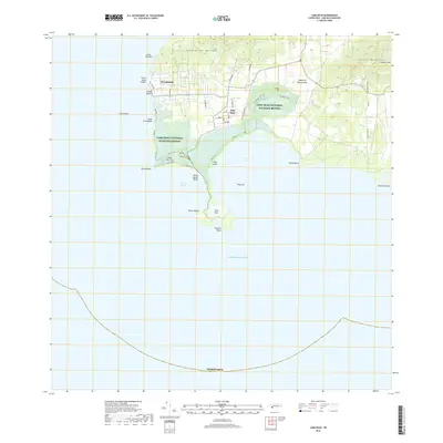
1938 Map of Cabo Rojo
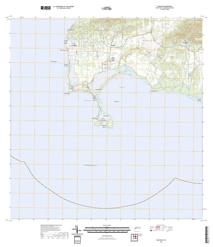
USGS Topo · Published 1947About this map
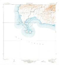
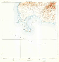
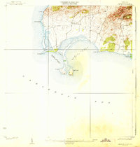
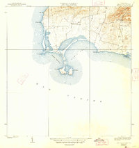
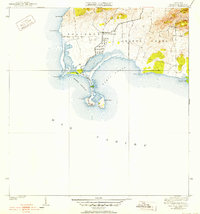
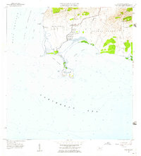
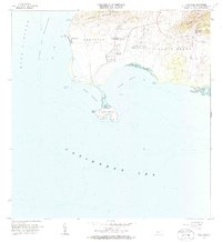
Cabo Rojo and its iconic Faro lighthouse anchor the southwestern tip of Puerto Rico in this mid-1930s survey. The landscape is defined by the sweeping arcs of Bahía Salinas and Bahía Sucia, where the coastal topography transitions into the salt flats and mangroves of the Boquerón and Llanos Costa regions. The interior rises toward the distinctive heights of Sierra Bermeja and Peñones de Melones, showing a rural settlement pattern centered around small clusters like Las Palmas. Local educational history is represented by the Escuela Sebastián Pabón Alvarado, while numerous points such as Pta Águila and Pta Pitahaya trace the intricate Caribbean shoreline before modern coastal development altered the natural profile of the municipality.
Find a feature on this map
18 named features on this map. Tap any name to fly to it.
Don’t see what you’re looking for? This feature index may not catch every label — zoom into the map to look around manually.
Map Details
Editions of this 1938 Cabo Rojo Map
5 editions found
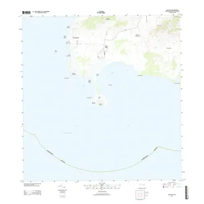
Historical Maps of La Pitahaya Through Time
6 maps found
Featured Locations
- Boquerón, Cabo Rojo
- El Corozo, Cabo Rojo
- Urbanización Paseo Cofresí, Cabo Rojo
- La Pitahaya, Cabo Rojo
- Las Palmas, Cabo Rojo