Old Maps of Urbanización Villa Carolina 4ta Sección, Carolina
Explore 10 old maps of Urbanización Villa Carolina 4ta Sección, spanning from 1940 to today. These high-resolution historic maps reveal how streets, neighborhoods, landmarks, and natural features evolved over time — perfect for genealogy, metal detecting, research, and local history exploration.
What you can do with these maps:
- See how Urbanización Villa Carolina 4ta Sección changed over time: Compare historical maps to modern-day views to trace roads, homesites, rail lines & more.
- View detailed metadata: Each map includes creators, publishers, year, scale, and archive source.
- Overlay maps with satellite & LiDAR: Visualize the past alongside modern tools to explore terrain & human change.
- Trusted historical sources: Maps sourced from the USGS, Library of Congress, and other archives.
- Access maps your way: View online, download high-res files, or order prints for personal or research use.
Start exploring old maps of Urbanización Villa Carolina 4ta Sección to uncover forgotten places, hidden landmarks, and the deep history beneath your feet.
Urbanización Villa Carolina 4ta Sección, Carolina maps
(10)- 1940 Map of Carolina
 1940 Carolina1940 Print · USGSNortheast Puerto Rico is shown here just before the era of rapid modernization, when sugar production dominated the coastal plains. Researchers can trace the layout of agricultural colonies like Colonia Monserrate and historic centers such as Loiza Aldea and Central Victoria.
 - 1941 Map of Carolina
 1941 Carolina1941 Print · USGSCoastal Puerto Rico at the start of the 1940s shows a landscape of sugar centrales and traditional settlements along the Atlantic. Researchers can trace family ties at Loiza Aldea, locate the rail spurs of Central Victoria, or explore the limits of the Bosque Insular de Piñones.
 - 1947 Map of Carolina
 1947 Carolina1947 Print · USGSNortheast Puerto Rico is documented here in the late 1940s as a landscape of coastal lagoons and thriving sugar centrals. Genealogists can trace family roots through numerous worker settlements like Poblado Sabana Abajo, Colonia Las Delicias, and Loíza Aldea.3 unique versions available
 - 1950 Map of Carolina SO
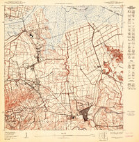 1950 Carolina SO1950 Print · USGSMid-century Carolina and its surrounding barrios are captured here during a shift from sugar production to aviation. Trace the early layout of Carolina near the Central Victoria mill and the planned International Airport.
 - 1957 Map of Carolina, 1959 Print
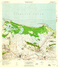 1957 Carolina1959 Print · USGSNortheastern Puerto Rico is captured in the late fifties as sugar mills and new transit hubs like the Aeropuerto Internacional reshaped the coast. Trace the Rio Grande de Loiza past the Central Canovanas and the local post office at Loíza.
 - 1963 Map of Carolina, 1965 Print
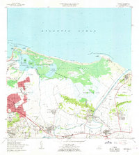 1963 Carolina1965 Print · USGSThe coastal area east of San Juan comes to life in the early sixties, showing the vital waterways and growing barrios of the north shore. Genealogists and historians can locate family landmarks from Loiza Aldea to Canóvanas, including the Escuela Santa Catalina and the Hipodromo El Comandante.
 - 1969 Map of Carolina, 1972 Print
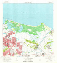 1969 Carolina1972 Print · USGSCoastal Puerto Rico underwent rapid transformation in the late sixties as urban growth met the natural wetlands of the Atlantic shore. Genealogists and researchers can trace local neighborhoods from Loíza Aldea to Villa Carolina or locate the Seminario Episcopal del Caribe.3 unique versions available
 - 2013 Map of Carolina, 2013 Print
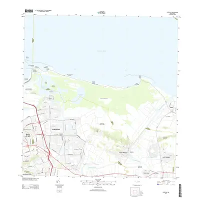 2013 Carolina2013 Print · USGSThe northeastern coast of Puerto Rico is shown here in the early twenty-first century as urban development reaches the edges of the Atlantic lagoons. Researchers can trace the layout of Luis Munoz Marin International Airport and local settlements like Santa Bárbara or Canóvanas.
 - 2018 Map of Carolina, 2018 Print
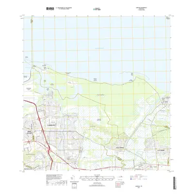 2018 Carolina2018 Print · USGSCoastal development meets the lagoons of northeast Puerto Rico in the late 2010s. Trace the layout of CAROLINA and Loíza, or locate family landmarks like the Cementerio Municipal de Carolina and the hills of Cerro San José.
 - 2024 Map of Carolina, 2024 Print
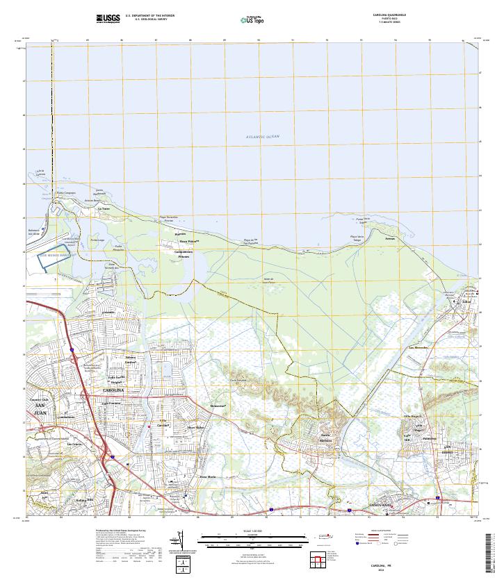 2024 Carolina2024 Print · USGSModern Carolina and Loíza are captured here as they balance urban expansion with fragile coastal ecosystems. Trace the development of Villa Carolina and Vistamar alongside landmarks like Hippodromo El Comandante.
End of results
Showing maps 1-10 of 10
Frequently asked questions
- What are the different types of historical maps available for Urbanización Villa Carolina 4ta Sección?
- What is the oldest map of Urbanización Villa Carolina 4ta Sección?
- Where can I purchase historical maps of Urbanización Villa Carolina 4ta Sección for my home or office?
- Where can I download high-res historical maps of Urbanización Villa Carolina 4ta Sección?
- Are there historical topographic maps available for Urbanización Villa Carolina 4ta Sección?
- Is there historical aerial imagery available for Urbanización Villa Carolina 4ta Sección?
- Where are historical maps of Urbanización Villa Carolina 4ta Sección sourced from?