2000s (21st Century) Maps of Coamo
Explore 12 historic maps of Coamo from the 2000s (21st Century). These maps offer a rare glimpse into what life looked like during the 2000s — showing old roads, neighborhoods, homes, and landmarks that have changed or disappeared over time.
Whether you're researching your family's past, planning a metal detecting trip, or studying how Coamo's landscape evolved across the 2000s, these high-resolution maps are a powerful tool for exploring the history of this region.
- Focus on a specific era: All maps on this page are from the 2000s, giving you a focused view of this time period.
- See what’s changed: Compare century-old streets, trails, and buildings to today's modern landscape using overlays and satellite layers.
- Research with precision: Use these maps for genealogy, historical research, land use analysis, or educational projects.
- View, download, or print: Maps are fully viewable online in high resolution, and can be downloaded or printed for your own records.
Start exploring Coamo's history through authentic maps from the 2000s. This is your window into the past.
Coamo maps
(12)- 2013 Map of Coamo, 2013 Print
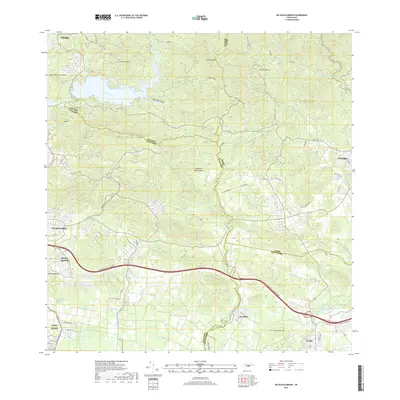
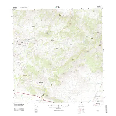 2013 Coamo2013 Print · USGSCovers Coamo, including Cayures, Sector El Meloncito, and other nearby areas
 - 2013 Map of Rio Descalabrado, 2013 Print
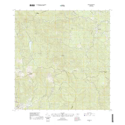
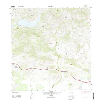 2013 Rio Descalabrado2013 Print · USGSCovers Coamo, including Sector Sierrita, Sector Villa Pote, and other nearby areas
 - 2013 Map of Orocovis, 2013 Print
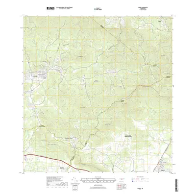
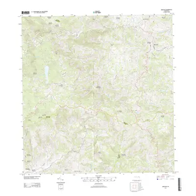 2013 Orocovis2013 Print · USGSCovers Coamo, including Villalba, Orocovis, and other nearby areas
 - 2013 Map of Barranquitas, 2013 Print
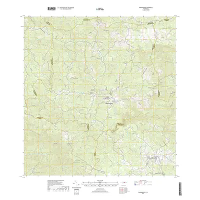
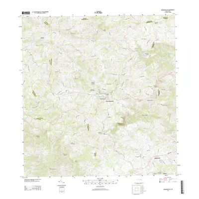 2013 Barranquitas2013 Print · USGSCovers Coamo, including Aibonito, Barranquitas, and other nearby areas
 - 2018 Map of Rio Descalabrado, 2018 Print
 2018 Rio Descalabrado2018 Print · USGSCovers Coamo, including Sector Sierrita, Sector Villa Pote, and other nearby areas
 - 2018 Map of Coamo, 2018 Print
 2018 Coamo2018 Print · USGSCovers Coamo, including Cayures, Sector El Meloncito, and other nearby areas
 - 2018 Map of Barranquitas, 2018 Print
 2018 Barranquitas2018 Print · USGSCovers Coamo, including Aibonito, Barranquitas, and other nearby areas
 - 2018 Map of Orocovis, 2018 Print
 2018 Orocovis2018 Print · USGSCovers Coamo, including Villalba, Orocovis, and other nearby areas
 - 2024 Map of Orocovis, 2024 Print
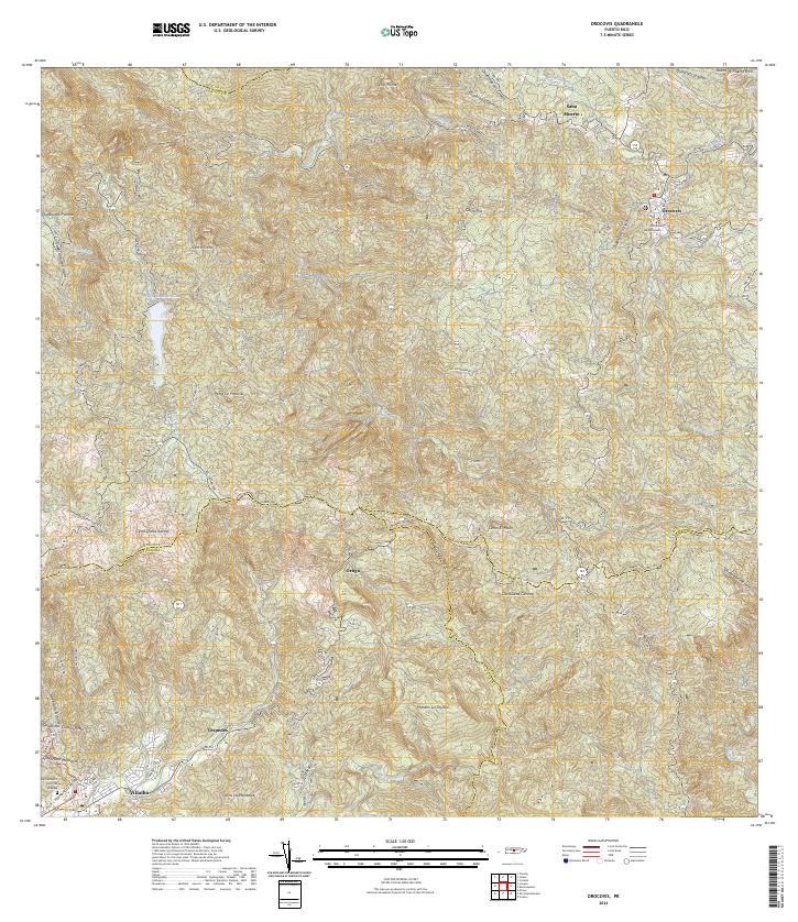 2024 Orocovis2024 Print · USGSThe high interior of the Cordillera Central comes into focus in this recent survey of the mountainous heart of the island. Genealogists and local historians can trace family roots through the rural sectors of Orocovis and Villalba, or locate the Cementerio Civil de Villalba and the Tribunal de Orocovis.
 - 2024 Map of Barranquitas, 2024 Print
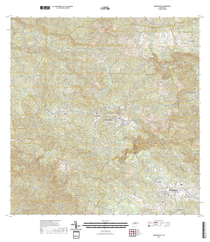 2024 Barranquitas2024 Print · USGSThe central mountains of Puerto Rico are mapped in detail here during the mid-2020s. Researchers can locate civic landmarks like the Tribunal de Barranquitas or trace family sites at the Cementerio Municipal del Campito.
 - 2024 Map of Rio Descalabrado, 2024 Print
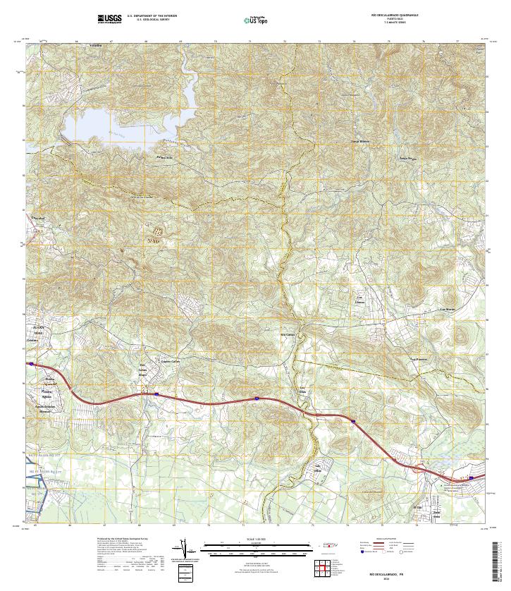 2024 Rio Descalabrado2024 Print · USGSPuerto Rico's southern slopes and coastal plains are captured in this recent survey, showcasing the transition from mountain ridges to urban development. Genealogists and locals can trace family-named areas like Río Cañas Abajo and Piedra Aguzada alongside modern centers like Universidad Ana G. Méndez.
 - 2024 Map of Coamo, 2024 Print
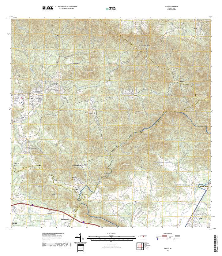 2024 Coamo2024 Print · USGSThe foothills of the Cordillera Central come alive in this modern survey of the historic Coamo region. Local researchers can trace family roots through settlements like Mariano Colón, the Cementerio Municipal de Coamo, and the storied Baños de Coamo.
End of results
Showing maps 1-12 of 12
Frequently asked questions
- What are the different types of historical maps available for Coamo?
- What is the oldest map of Coamo?
- Where can I purchase historical maps of Coamo for my home or office?
- Where can I download high-res historical maps of Coamo?
- Are there historical topographic maps available for Coamo?
- Is there historical aerial imagery available for Coamo?
- Where are historical maps of Coamo sourced from?