Old Maps of Amuelas, Juana Díaz
Explore 17 old maps of Amuelas, spanning from 1945 to today. These high-resolution historic maps reveal how streets, neighborhoods, landmarks, and natural features evolved over time — perfect for genealogy, metal detecting, research, and local history exploration.
What you can do with these maps:
- See how Amuelas changed over time: Compare historical maps to modern-day views to trace roads, homesites, rail lines & more.
- View detailed metadata: Each map includes creators, publishers, year, scale, and archive source.
- Overlay maps with satellite & LiDAR: Visualize the past alongside modern tools to explore terrain & human change.
- Trusted historical sources: Maps sourced from the USGS, Library of Congress, and other archives.
- Access maps your way: View online, download high-res files, or order prints for personal or research use.
Start exploring old maps of Amuelas to uncover forgotten places, hidden landmarks, and the deep history beneath your feet.
Amuelas, Juana Díaz maps
(17)- 1945 Map of Ponce
 1945 Ponce1945 Print · USGSThe southern coast of Puerto Rico in the 1940s showcases a landscape shaped by sugar production and ancestral haciendas. Genealogists and historians can trace family roots through numerous named estates like Hacienda Anón and industrial centers like Central Mercedita.3 unique versions available
 - 1945 Map of Rio Descalabrado
 1945 Rio Descalabrado1945 Print · USGSSanta Isabel and the surrounding southern foothills appear here in the final year of the war, showcasing a landscape of traditional haciendas and emerging rural schools. Trace ancestral roots through named estates like Hacienda Miranda or follow the waters of Lago Coamo and the Rio Descalabrado.3 unique versions available
 - 1947 Map of Ponce SE
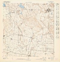 1947 Ponce SE1947 Print · USGSJuana Díaz and the surrounding agricultural plains of southern Puerto Rico come to life in this detailed postwar survey. Genealogists and historians can trace the foundations of local families at named estates like Hacienda Cristal and Hacienda Teresa or follow the historic Ponce and Guayama RR rail line.
 - 1947 Map of Rio Descalabrado SO
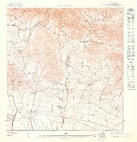 1947 Rio Descalabrado SO1947 Print · USGSCoastal Juana Díaz is shown here in the late 1940s as an agricultural landscape dominated by significant haciendas and military holdings. Researchers can trace ancestral lands and rural settlements like Pastillito and Cuatro Calles near the Hacienda Amelia.
 - 1952 Map of Ponce, 1953 Print
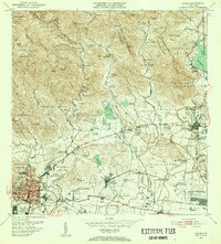 1952 Ponce1953 Print · USGSThe coastal plains and foothills of southern Puerto Rico appear here during the island's mid-century industrial peak. Researchers can trace the extensive sugar economy through named estates like Hacienda Cristina and the transit lines of the American RR of Puerto Rico.2 unique versions available
 - 1952 Map of Rio Descalabrado, 1953 Print
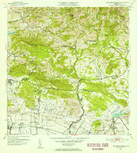 1952 Rio Descalabrado1953 Print · USGSSouthern Puerto Rico's coastal plains and mountain foothills are captured here during the early fifties, showing a landscape defined by military and agricultural life. Researchers can trace the layout of Campo Losey, locate sugar industry landmarks like Central Las Marias, or find family estates such as Hacienda Miranda.2 unique versions available
 - 1958 Map of Ponce, 1961 Print
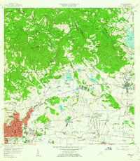 1958 Ponce1961 Print · USGSSouthern Puerto Rico in the late fifties shows the traditional barrios and sugar estates of the coastal plain. Genealogists and historians can locate family lands at Hacienda Luciana, trace the growth of Juana Díaz, or find the Catholic University.
 - 1960 Map of Rio Descalabrado, 1962 Print
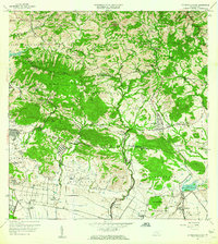 1960 Rio Descalabrado1962 Print · USGSCoastal plains and foothills near Santa Isabel and Juana Díaz are captured here during a period of agricultural and military significance. Researchers can trace historic estate boundaries at Hacienda Miranda and Hacienda Altura or locate local centers like Paso Seco.2 unique versions available
 - 1964 Map of Ponce, 1965 Print
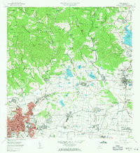 1964 Ponce1965 Print · USGSThe southern coast of Puerto Rico thrived in the mid-1960s as a hub of sugar production and urban growth. Genealogists and historians can trace family estates like Hacienda Maraguez and explore the industrial footprint of Central Mercedita and Fort Allen.
 - 1970 Map of Ponce, 1972 Print
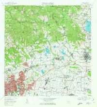 1970 Ponce1972 Print · USGSSouthern Puerto Rico in the early seventies shows a landscape balancing urban growth in Ponce with deep-rooted sugar traditions. Researchers can trace family estates and civic life through Central Mercedita, Hacienda Ana Maria, and Escuela Booker T Washington.4 unique versions available
 - 1972 Map of Rio Descalabrado, 1974 Print
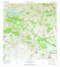 1972 Rio Descalabrado1974 Print · USGSSouthern Puerto Rico in the early seventies shows a transition from traditional sugarcane estates to modern infrastructure. Researchers can trace the boundaries of historic haciendas like Hacienda Amelia or locate the Fort Allen Naval Radio Station and Lago Coamo.4 unique versions available
 - 2013 Map of Rio Descalabrado, 2013 Print
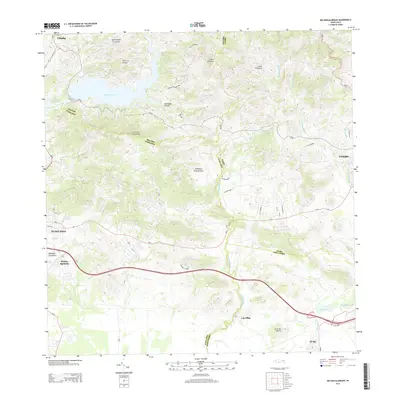 2013 Rio Descalabrado2013 Print · USGSThe foothills of the Cordillera Central come into focus in the early twenty-first century as they descend toward the Caribbean coast. Genealogists and researchers can trace local road networks connecting Piedra Aguzada, Las Ollas, and the shores of Lago Coamo.
 - 2013 Map of Ponce, 2013 Print
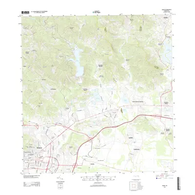 2013 Ponce2013 Print · USGSThe city of Ponce and its industrial corridor are captured during a period of modern expansion. Researchers can trace local history at the Vigia Observation Tower or locate family roots near Central Mercedita and Luis Llorens Torres.
 - 2018 Map of Ponce, 2018 Print
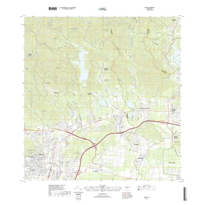 2018 Ponce2018 Print · USGSThe southern coast of Puerto Rico is shown in great detail during the late twenty-teens, from the city center to the peaks of the central range. Trace local history through landmarks like the Panteon Nacional Roman Baldorioty de Castro and Mercedita Airport.
 - 2018 Map of Rio Descalabrado, 2018 Print
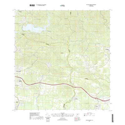 2018 Rio Descalabrado2018 Print · USGSSouthern Puerto Rico in the late 2010s reveals a mix of rugged peaks and expanding coastal infrastructure. Family historians can trace settlements around Piedra Aguzada and Las Ollas or locate the grounds of Fort Allen.
 - 2024 Map of Rio Descalabrado, 2024 Print
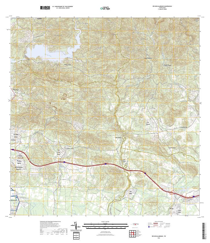 2024 Rio Descalabrado2024 Print · USGSPuerto Rico's southern slopes and coastal plains are captured in this recent survey, showcasing the transition from mountain ridges to urban development. Genealogists and locals can trace family-named areas like Río Cañas Abajo and Piedra Aguzada alongside modern centers like Universidad Ana G. Méndez.
 - 2024 Map of Ponce, 2024 Print
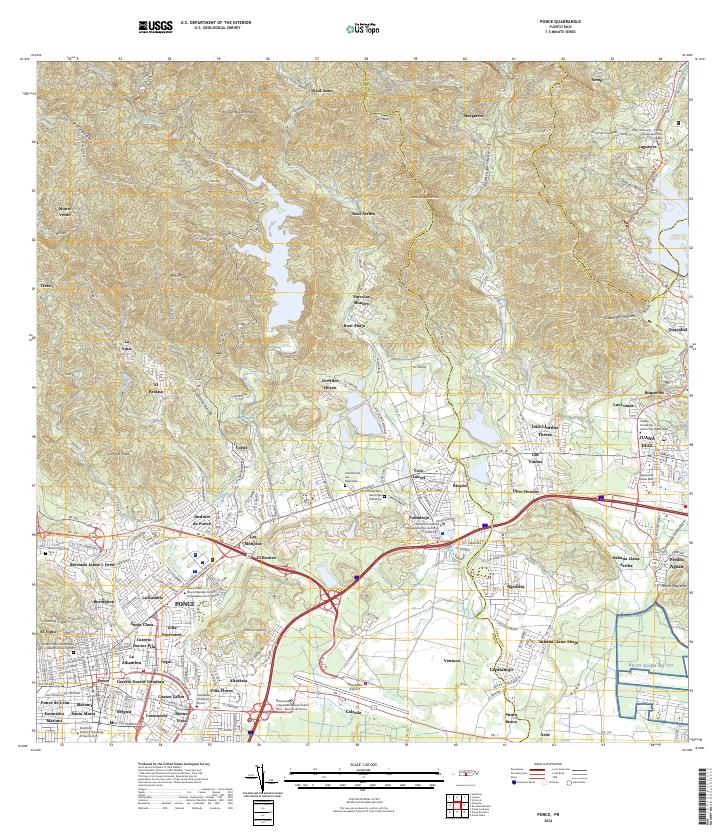 2024 Ponce2024 Print · USGSSouthern Puerto Rico's urban and mountainous transition is captured here, showing the growth of Ponce and Juana Díaz. Researchers can locate specialized sites like Mercedita Airport, various university campuses, and the Cementerio Las Mercedes.
End of results
Showing maps 1-17 of 17
Frequently asked questions
- What are the different types of historical maps available for Amuelas?
- What is the oldest map of Amuelas?
- Where can I purchase historical maps of Amuelas for my home or office?
- Where can I download high-res historical maps of Amuelas?
- Are there historical topographic maps available for Amuelas?
- Is there historical aerial imagery available for Amuelas?
- Where are historical maps of Amuelas sourced from?