
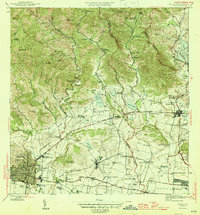
1945 Map of Ponce
USGS Topo · Published 1945About this map
Agricultural haciendas and sugar production hubs define this mid-1940s landscape on the southern coast of Puerto Rico. The sugar economy is anchored by the industrial footprints of Central Mercedita and Central Ponceña, while the surrounding terrain is dotted with numerous established estates such as Hacienda Cintrón Primera, Hacienda Luciana, and Hacienda Arbona. The map reveals an intricate network of barrios, including Sabanetas, Coto Laurel, and Machuelo Arriba, which span from the coastal plains toward the northern peaks like Pico Pinte and Cerro El Gato.
Find a feature on this map
122 named features on this map. Tap any name to fly to it.
Don’t see what you’re looking for? This feature index may not catch every label — zoom into the map to look around manually.
Map Details
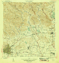
Editions of this 1945 Ponce Map
3 editions found
Other maps of this area

1944 · Santa Isabel
USGS Topo · 1:30,000

1945 · Playa De Ponce
USGS Topo · 1:30,000

1945 · Rio Descalabrado
USGS Topo · 1:30,000

1946 · Punta Cuchara
USGS Topo · 1:30,000

1946 · Jayuya
USGS Topo · 1:30,000

1946 · Orocovis
USGS Topo · 1:30,000

1946 · Penuelas
USGS Topo · 1:30,000

1946 · Adjuntas
USGS Topo · 1:30,000

1947 · Ponce NE
USGS Topo · 1:10,000
1947 · Playa De Ponce NE
USGS Topo · 1:10,000