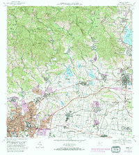
1970 Map of Ponce
USGS Topo · Published 1982About this map
Agricultural industry and suburban expansion define the landscape of south-central Puerto Rico during this 1970s revision period. The southern coast and foothills are punctuated by numerous traditional estates, including Hacienda El Tesoro, Hacienda Monserrate, and Hacienda Mallorquina, representing a heritage of land cultivation that transitions into industrial processing at Central Mercedita. The urban center of Ponce shows significant growth in residential sectors like Caserio Dr Pila and Caserio Villa Esperanza, while critical infrastructure such as the Aeropuerto Mercedita and the Naval Radio Station at Fort Allen underscore the region's strategic importance.
Find a feature on this map
240 named features on this map. Tap any name to fly to it.
Don’t see what you’re looking for? This feature index may not catch every label — zoom into the map to look around manually.
Map Details
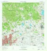
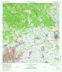
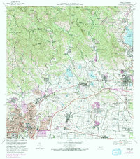
Editions of this 1970 Ponce Map
4 editions found
Other maps of this area

1944 · Santa Isabel
USGS Topo · 1:30,000

1945 · Playa De Ponce
USGS Topo · 1:30,000

1945 · Ponce
USGS Topo · 1:30,000

1945 · Rio Descalabrado
USGS Topo · 1:30,000

1946 · Punta Cuchara
USGS Topo · 1:30,000

1946 · Jayuya
USGS Topo · 1:30,000

1946 · Orocovis
USGS Topo · 1:30,000

1946 · Penuelas
USGS Topo · 1:30,000

1946 · Adjuntas
USGS Topo · 1:30,000

1947 · Ponce NE
USGS Topo · 1:10,000