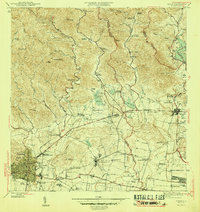
1970 Map of Ponce
USGS Topo · Published 1982About this map
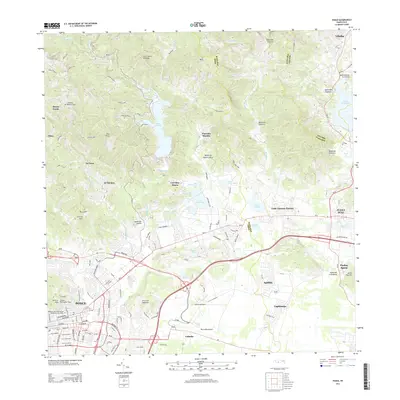
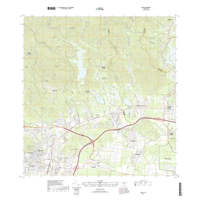
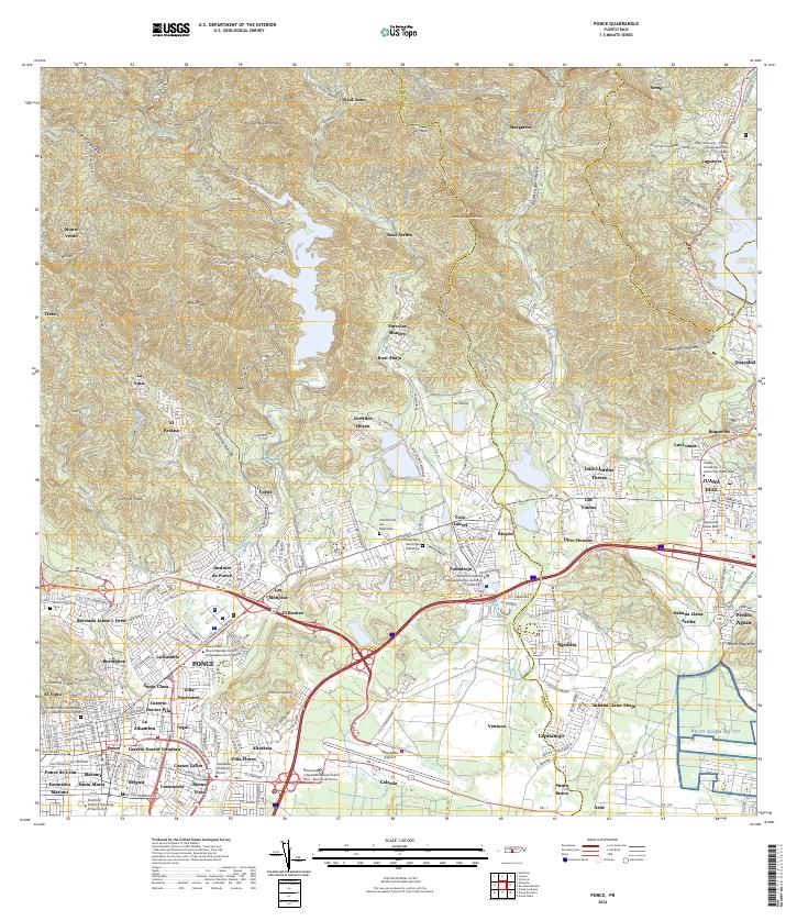
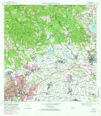
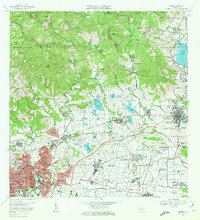
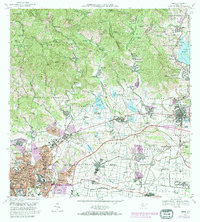
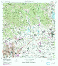
Central Mercedita stands as a focal point for the sugar-producing economy of southern Puerto Rico, situated just east of the growing urban center. The landscape transitioned during the late 1960s and early 1970s, as the industrial and military presence expanded with Aeropuerto Mercedita and the Fort Allen Naval Radio Station. While the southern plains show a dense network of sugarcane infrastructure and irrigation via the Canal de Riego, the northern terrain rises into the coffee-growing foothills. Here, numerous traditional estates like Hacienda Arbona and Hacienda Vista Alegre are named along the slopes of Monte Llano and Maraguez.
Find a feature on this map
308 named features on this map. Tap any name to fly to it.
Don’t see what you’re looking for? This feature index may not catch every label — zoom into the map to look around manually.
Map Details
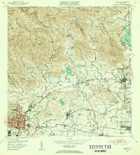
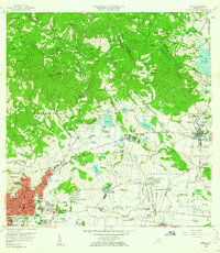
Editions of this 1970 Ponce Map
4 editions found
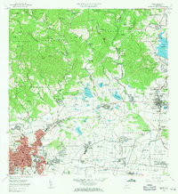
Historical Maps of Ponce Through Time
8 maps found