
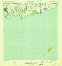
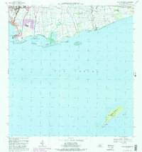
1945 Map of Playa De Ponce
USGS Topo · Published 1945About this map
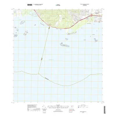
Agricultural haciendas and industrial sugar centrals dominate the coastal landscape of southern Puerto Rico in this mid-1940s survey. The concentration of sugar production is evident through large-scale operations like Central Constancia, Central Fortuna, and Central Boca Chica, which are linked to the coast and the inland fields by the American Railroad of Puerto Rico. The port area at Playa de Ponce serves as the economic gateway, featuring the substantial Muelle de Ponce and a network of maritime infrastructure.
Find a feature on this map
39 named features on this map. Tap any name to fly to it.
Don’t see what you’re looking for? This feature index may not catch every label — zoom into the map to look around manually.
Map Details
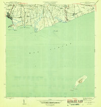
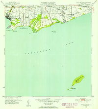
Editions of this 1945 Playa De Ponce Map
3 editions found
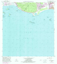
Historical Maps of El Polvorín Through Time
23 maps found
1945 Playa De Ponce
Ponce Municipio, PR

1946 Punta Cuchara
Ponce Municipio, PR

1947 Adjuntas SE
Ponce Municipio, PR

1947 Jayuya SO
Ponce Municipio, PR

1947 Penuelas NE
Ponce Municipio, PR

1947 Penuelas SE
Ponce Municipio, PR

1947 Playa De Ponce NO
Ponce Municipio, PR

1947 Ponce NO
Ponce Municipio, PR

1947 Ponce SO
Ponce Municipio, PR

1947 Punta Gughara NE
Ponce Municipio, PR
1952 Playa De Ponce
Ponce Municipio, PR

1952 Punta Cuchara
Ponce Municipio, PR

1958 Playa De Ponce
Ponce Municipio, PR

1958 Punta Cucharas
Ponce Municipio, PR

1962 Playa De Ponce
Ponce Municipio, PR
1962 Punta Cucharas
Ponce Municipio, PR
1970 Playa De Ponce
Ponce Municipio, PR
2013 Playa De Ponce
Ponce Municipio, PR
2013 Punta Cucharas
Ponce Municipio, PR
2018 Playa De Ponce
Ponce Municipio, PR
2018 Punta Cucharas
Ponce Municipio, PR

2024 Playa De Ponce
Ponce Municipio, PR

2024 Punta Cucharas
Ponce Municipio, PR