
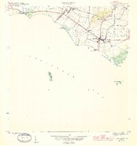
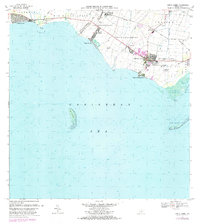
1944 Map of Santa Isabel
USGS Topo · Published 1944About this map
The agricultural heart of southern Puerto Rico is revealed during the mid-1940s, highlighting the concentration of sugar production and rail transport. The Ponce and Guayama railroad serves as the region's industrial backbone, connecting the Central Cortada and Estacion Santa Isabel to various large estates. The landscape is dotted with prominent haciendas and colonias, including Hacienda Florida, Hacienda Alomar, and Colonia Bizarreta, reflecting a period of intense land cultivation. Along the coast, the Caribbean Sea meets the shoreline at Playa Santa Isabel and several prominent points such as Pta Petrona. Offshore, the isolated Cayo Berberia and Cayos Cabuzazos stand as distinct maritime landmarks. This survey also records the drainage network provided by the Rio Descalabrado and Rio Coamo, which were essential for the irrigation systems and the Canal feeding the coastal plains.
Find a feature on this map
35 named features on this map. Tap any name to fly to it.
Don’t see what you’re looking for? This feature index may not catch every label — zoom into the map to look around manually.
Map Details
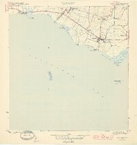
Editions of this 1944 Santa Isabel Map
3 editions found
Historical Maps of Santa Isabel Through Time
7 maps found
1944 Santa Isabel
Santa Isabel Municipio, PR
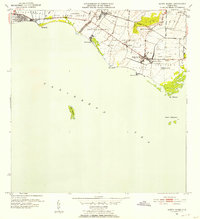
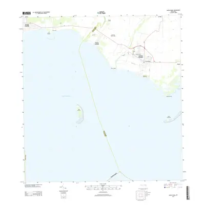
1952 Santa Isabel
Santa Isabel Municipio, PR
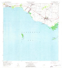
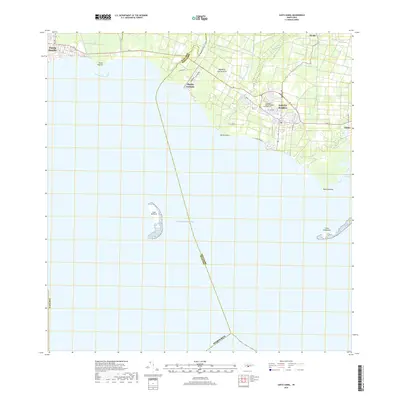
1960 Santa Isabel
Santa Isabel Municipio, PR
1972 Santa Isabel
Santa Isabel Municipio, PR
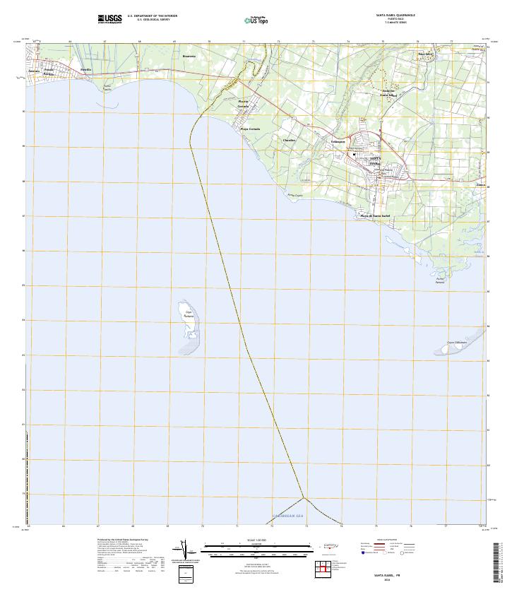
2013 Santa Isabel
Santa Isabel Municipio, PR
2018 Santa Isabel
Santa Isabel Municipio, PR
2024 Santa Isabel
Santa Isabel Municipio, PR
Featured Locations
- Santa Isabel
- Bizarreta, Juana Díaz
- Pastillo, Juana Díaz
- Santa Isabel, Santa Isabel
- Estación Santa Isabel, Santa Isabel