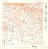
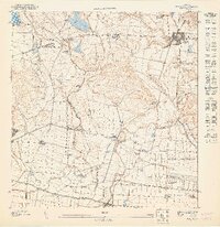
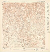
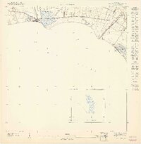
1947 Map of Rio Descalabrado SO
USGS Topo · Published 1947About this map
Large agricultural estates and sugar-related infrastructure define this landscape between Juana Díaz and the southern coast during the late 1940s. The prominent Hacienda Miranda, Hacienda Amelia, and Hacienda Ursula anchor the flat coastal plain, while the Carretera Central cuts through the more complex terrain to the north. These haciendas represent the enduring legacy of the plantation economy, situated near the modern transit corridors of the Ponce and Guayama route.
Find a feature on this map
12 named features on this map. Tap any name to fly to it.
Don’t see what you’re looking for? This feature index may not catch every label — zoom into the map to look around manually.
Map Details
Editions of this 1947 Rio Descalabrado SO Map
This is the sole edition of this map. No revisions or reprints were ever made.
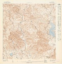
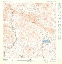
Other maps of this area

1944 · Santa Isabel
USGS Topo · 1:30,000

1945 · Playa De Ponce
USGS Topo · 1:30,000

1945 · Ponce
USGS Topo · 1:30,000

1945 · Rio Descalabrado
USGS Topo · 1:30,000
1947 · Ponce NE
USGS Topo · 1:10,000
1947 · Rio Descalabrado SE
USGS Topo · 1:10,000
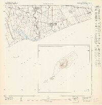
1947 · Playa De Ponce NE
USGS Topo · 1:10,000
1947 · Ponce SE
USGS Topo · 1:10,000
1947 · Rio Descalabrado NE
USGS Topo · 1:10,000
1947 · Santa Isabel NO
USGS Topo · 1:10,000
Featured Places
- Villa Geraldina, Juana Díaz
- Quintas de Altamira, Juana Díaz
- Villa de Río Cañas, Juana Díaz
- Colinas del Prado, Juana Díaz
- Emajagual, Juana Díaz