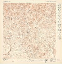
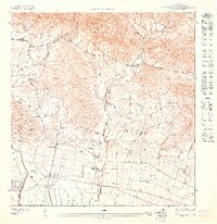
1947 Map of Rio Descalabrado NE
USGS Topo · Published 1947About this map
The Río Descalabrado flows through a landscape defined by the junction of the Villalba, Coamo, and Juana Díaz municipal boundaries during the late 1940s. This survey, based on 1943 topography, centers on the rural community of Unidad de Santa Catalina, where the Escuela Segunda Unidad de Santa Catalina stands as a focal point for the surrounding agrarian settlements. The settlement pattern follows the intricate valley system, with small clusters like Zanja Blanca and Zanja Negra situated near the watercourses. High points such as Cerro Petronila and Loma Pelagatos dominate the horizon, while the Río de la Mina and Río del Pasto contribute to the drainage network that shaped the local economy and land use before mid-century modernization.
Find a feature on this map
13 named features on this map. Tap any name to fly to it.
Don’t see what you’re looking for? This feature index may not catch every label — zoom into the map to look around manually.
Map Details
Editions of this 1947 Rio Descalabrado NE Map
This is the sole edition of this map. No revisions or reprints were ever made.
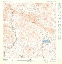
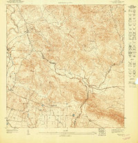
Other maps of this area

1945 · Rio Descalabrado
USGS Topo · 1:30,000

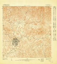
1946 · Coamo
USGS Topo · 1:30,000

1946 · Barranquitas
USGS Topo · 1:30,000

1946 · Orocovis
USGS Topo · 1:30,000
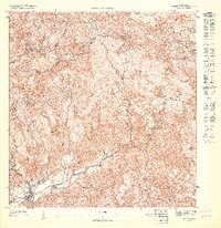
1947 · Rio Descalabrado SE
USGS Topo · 1:10,000
1947 · Orocovis SO
USGS Topo · 1:10,000
1947 · Orocovis SE
USGS Topo · 1:10,000
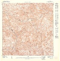
1947 · Rio Descalabrado SO
USGS Topo · 1:10,000
1947 · Coamo SO
USGS Topo · 1:10,000
1947 · Coamo NO
USGS Topo · 1:10,000