
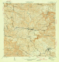
1946 Map of Barranquitas
USGS Topo · Published 1946About this map
Barranquitas and Aibonito anchor this 1946 topographic survey of Puerto Rico's central mountain region. The landscape is defined by the winding Río Grande de Manatí and a dense network of mountain streams including the Río Usabón and Río Coamo. A striking cultural pattern is revealed through the numerous rural educational centers, such as Escuela Segunda Unidad de Helechal and Escuela Segunda Unidad de Palo Hincado, which reflect the era's focus on agricultural and vocational schooling in the island's interior.
Find a feature on this map
39 named features on this map. Tap any name to fly to it.
Don’t see what you’re looking for? This feature index may not catch every label — zoom into the map to look around manually.
Map Details
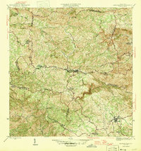
Editions of this 1946 Barranquitas Map
3 editions found
Other maps of this area

1945 · Rio Descalabrado
USGS Topo · 1:30,000

1946 · Coamo
USGS Topo · 1:30,000

1946 · Corozal
USGS Topo · 1:30,000

1946 · Ciales
USGS Topo · 1:30,000

1946 · Cayey
USGS Topo · 1:30,000

1946 · Comerio
USGS Topo · 1:30,000

1946 · Naranjito
USGS Topo · 1:30,000

1946 · Orocovis
USGS Topo · 1:30,000

1947 · Corozal SO
USGS Topo · 1:10,000

1947 · Cayey NO
USGS Topo · 1:10,000
Featured Places
- Aibonito
- Barranquitas
- Sector Los Pinos, Aibonito
- Parcelas de Helechal, Barranquitas
- Comunidad Bárbara Santiago, Barranquitas