
1947 Map of Corozal SO
USGS Topo · Published 1947About this map
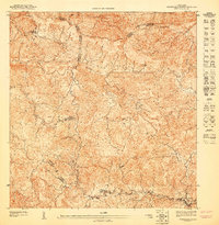
Montañas de Corozal define this 1947 landscape, where the interior terrain of Puerto Rico is intricately mapped at a high level of detail. The hydrology is dominated by the winding course of the Río Grande de Manatí, joined by tributaries including the Río de Corozal and Río Bocas. This preliminary survey by the United States Department of the Interior captures the region's development during the post-war era, showing the distribution of rural structures across the mountainous topography.
Find a feature on this map
12 named features on this map. Tap any name to fly to it.
Don’t see what you’re looking for? This feature index may not catch every label — zoom into the map to look around manually.
Map Details
Editions of this 1947 Corozal SO Map
This is the sole edition of this map. No revisions or reprints were ever made.
Other maps of this area

1946 · Corozal
USGS Topo · 1:30,000

1946 · Barranquitas
USGS Topo · 1:30,000

1946 · Ciales
USGS Topo · 1:30,000

1946 · Orocovis
USGS Topo · 1:30,000
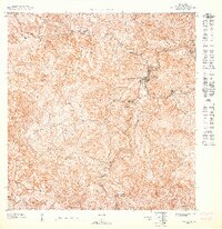
1947 · Orocovis NE
USGS Topo · 1:10,000

1947 · Corozal NO
USGS Topo · 1:10,000
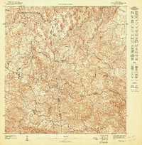
1947 · Corozal NE
USGS Topo · 1:10,000
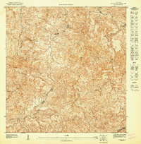
1947 · Corozal SE
USGS Topo · 1:10,000
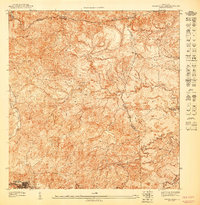
1947 · Barranquitas NE
USGS Topo · 1:10,000
1947 · Barranquitas NO
USGS Topo · 1:10,000