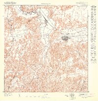
1947 Map of Corozal NO
USGS Topo · Published 1947About this map
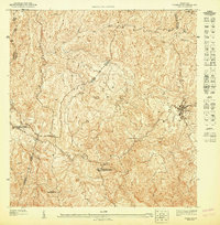
Corozal serves as the focal point for this detailed mid-century survey of the north-central interior, where the municipality lines of Vega Alta and Corozal meet among the steep ridges. The terrain is defined by a complex drainage network, primarily the Río Cibuco and Río Mavilla, which cut through the landscape alongside smaller tributaries like Quebrada Negros. The map records a rural infrastructure centered on education and faith, documenting the Escuela Segunda Unidad José Barreras Martínez and the Iglesia de la Inmaculada Concepción.
Find a feature on this map
15 named features on this map. Tap any name to fly to it.
Don’t see what you’re looking for? This feature index may not catch every label — zoom into the map to look around manually.
Map Details
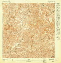
Editions of this 1947 Corozal NO Map
This is the sole edition of this map. No revisions or reprints were ever made.
Other maps of this area

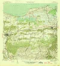
1940 · Vega Alta
USGS Topo · 1:30,000

1942 · Manati
USGS Topo · 1:30,000

1946 · Corozal
USGS Topo · 1:30,000

1946 · Ciales
USGS Topo · 1:30,000

1946 · Vega Alta
USGS Topo · 1:30,000
1946 · Manati
USGS Topo · 1:30,000
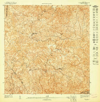
1947 · Corozal SO
USGS Topo · 1:10,000
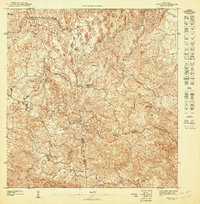
1947 · Corozal NE
USGS Topo · 1:10,000
1947 · Vega Alta SO
USGS Topo · 1:10,000
1947 · Corozal SE
USGS Topo · 1:10,000
Featured Places
- Corozal, Corozal
- Sector Rolo Barrera, Corozal
- Sector Julio Ortega, Corozal
- Sector Miranda, Corozal
- Parcelas Padilla, Corozal