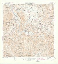
1946 Map of Ciales
USGS Topo · Published 1946About this map
Rio Grande de Manati snakes through the mountainous heart of the island, anchoring the agrarian and urban development of the mid-1940s. The town centers of Ciales and Morovis appear as dense clusters of development amid a landscape defined by steep peaks like Cerro Avispa and Cerro Quiros. This survey reveals a deeply religious and community-focused infrastructure, documented through landmarks such as Iglesia Ascension, Iglesia del Nino Jesus, and the Capilla del Carmen.
Find a feature on this map
80 named features on this map. Tap any name to fly to it.
Don’t see what you’re looking for? This feature index may not catch every label — zoom into the map to look around manually.
Map Details
Editions of this 1946 Ciales Map
This is the sole edition of this map. No revisions or reprints were ever made.
Other maps of this area
1940 · Vega Alta
USGS Topo · 1:30,000
1942 · Manati
USGS Topo · 1:30,000
1942 · Barceloneta
USGS Topo · 1:30,000
1946 · Corozal
USGS Topo · 1:30,000
1946 · Barranquitas
USGS Topo · 1:30,000
1946 · Barceloneta
USGS Topo · 1:30,000
1946 · Jayuya
USGS Topo · 1:30,000
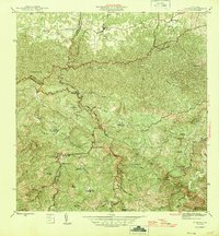
1946 · Florida
USGS Topo · 1:30,000
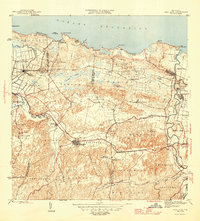
1946 · Vega Alta
USGS Topo · 1:30,000
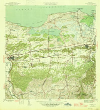
1946 · Manati
USGS Topo · 1:30,000