
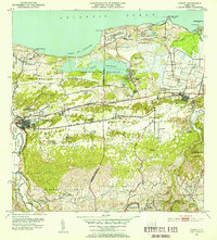
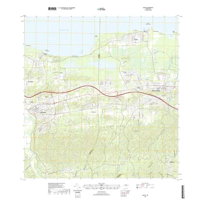
1942 Map of Manati
USGS Topo · Published 1942About this map
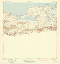
Coastal sugar production and established municipal centers define this 1940 survey of the northern Puerto Rican shore. The industrial footprint of Central San Vicente stands out near the eastern border, connected to the surrounding landscape by a network of specialized roads like Camino de las Arenas and Camino de la Boquilla. The large Laguna Tortuguero dominates the central terrain, bordered by several small agricultural and workers' settlements including Colonia Coto Norte and Colonia El Pueblito. In the town of Manati, the map reveals a dense street grid and public infrastructure, while the smaller Vega Baja sits just to the east across the municipal boundary. Religious and community life is anchored by landmarks such as the Capilla de la Virgen del Carmen, while the winding Rio Indio and the coastal marshes of Caño Tiburones illustrate the complex hydrology of the region's lowlands.
Find a feature on this map
39 named features on this map. Tap any name to fly to it.
Don’t see what you’re looking for? This feature index may not catch every label — zoom into the map to look around manually.
Map Details
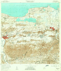
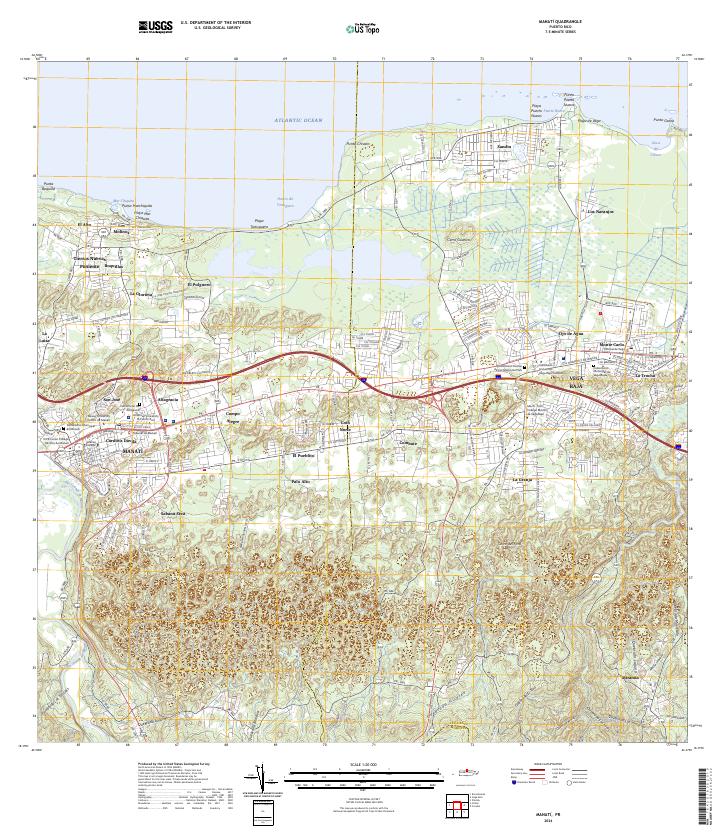
Editions of this 1942 Manati Map
2 editions found
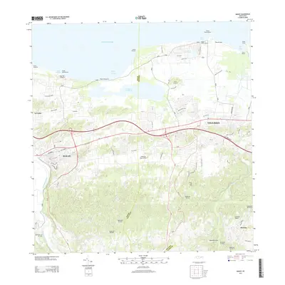
Historical Maps of Vega Baja Through Time
10 maps found
1942 Manati
Manatí Municipio, PR
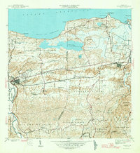
1946 Manati
Manatí Municipio, PR
1947 Barceloneta SE
Manatí Municipio, PR
1950 Barceloneta NE
Manatí Municipio, PR
1953 Manati
Manatí Municipio, PR
1958 Manati
Manatí Municipio, PR
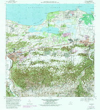
1969 Manati
Manatí Municipio, PR
2013 Manati
Manatí Municipio, PR
2018 Manati
Manatí Municipio, PR
2024 Manati
Manatí Municipio, PR
Featured Locations
- Sector Los Arenas, Vega Baja
- Vega Baja, Vega Baja
- Sabana Seca, Manatí
- Manatí, Manatí
- Reparto Guayaney, Manatí