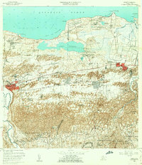
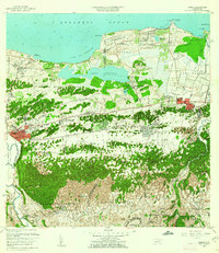
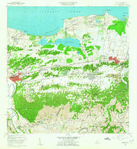
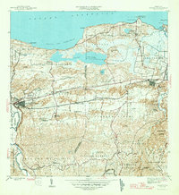
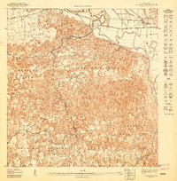
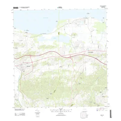
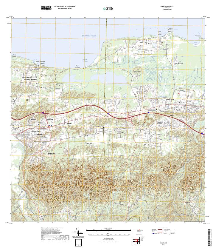
1958 Map of Manati
USGS Topo · Published 1965About this map
The Laguna Tortuguero wetland complex dominates the coastal lowlands of northern Puerto Rico in this mid-century survey, separating the Atlantic shoreline from the limestone hills to the south. The urban centers of Manatí and Vega Baja are shown in detail, including the grid of Pueblo Poniente and Pueblo Saliente. This era captures a landscape transitioning through infrastructure development, evidenced by the Vega Baja Airstrip and numerous educational facilities like Escuela Alejandrina Benítez and Escuela Cruz Rosa Rivas.
Find a feature on this map
91 named features on this map. Tap any name to fly to it.
Don’t see what you’re looking for? This feature index may not catch every label — zoom into the map to look around manually.
Map Details
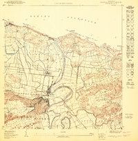
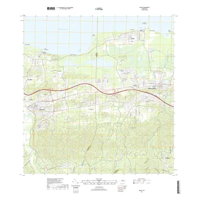
Editions of this 1958 Manati Map
3 editions found
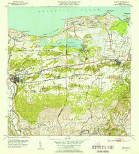
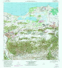
Historical Maps of Vega Baja Through Time
10 maps found

1942 Manati
Manatí Municipio, PR
1946 Manati
Manatí Municipio, PR
1947 Barceloneta SE
Manatí Municipio, PR
1950 Barceloneta NE
Manatí Municipio, PR
1953 Manati
Manatí Municipio, PR
1958 Manati
Manatí Municipio, PR
1969 Manati
Manatí Municipio, PR
2013 Manati
Manatí Municipio, PR
2018 Manati
Manatí Municipio, PR
2024 Manati
Manatí Municipio, PR
Featured Locations
- Sector Los Arenas, Vega Baja
- Vega Baja, Vega Baja
- Sabana Seca, Manatí
- Manatí, Manatí
- Reparto Guayaney, Manatí