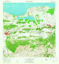
1958 Map of Manati
USGS Topo · Published 1965About this map
The coastal and limestone landscapes of northern Puerto Rico come alive in this 1958 survey, anchored by the urban center of Manati and the nearby sugar industry of Central San Vicente. The map reveals a transition from the agricultural lowlands to the karst topography of Coto Sur and Pugnado Adentro, where numerous schools like Escuela Evaristo Camacho served dispersed rural communities. Along the shore, the Laguna Tortuguero and the U S Military Reservation Vega Baja Airstrip dominate the coastal strip near Puerto Nuevo. This era was defined by the density of the barrio system, visible in the intricate street patterns of Monte Carlo and the various churches, such as the Iglesia Santos Apostoles, that served as social hubs for the population centers of Pueblo Poniente and Pueblo Saliente.
Find a feature on this map
90 named features on this map. Tap any name to fly to it.
Don’t see what you’re looking for? This feature index may not catch every label — zoom into the map to look around manually.
Map Details
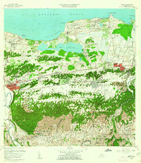
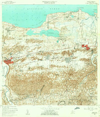
Editions of this 1958 Manati Map
3 editions found
Other maps of this area

1940 · Vega Alta
USGS Topo · 1:30,000

1942 · Manati
USGS Topo · 1:30,000

1942 · Barceloneta
USGS Topo · 1:30,000

1946 · Corozal
USGS Topo · 1:30,000

1946 · Barceloneta
USGS Topo · 1:30,000

1946 · Ciales
USGS Topo · 1:30,000

1946 · Florida
USGS Topo · 1:30,000

1946 · Vega Alta
USGS Topo · 1:30,000

1946 · Manati
USGS Topo · 1:30,000

1947 · Corozal NO
USGS Topo · 1:10,000