
Loading...
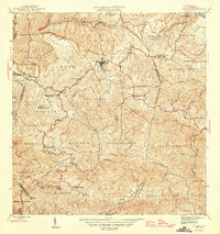
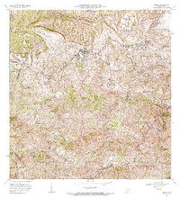
Loading map...1946 Map of Corozal
USGS Topo · Published 1946About this map
Corozal sits at the heart of this mid-1940s landscape, serving as a hub for the surrounding rural communities and mountainous interior. The terrain is defined by the Montañas de Corozal and a dense network of watercourses, including the Río Grande de Manatí and Río de la Plata. This era shows a significant investment in local infrastructure through several vocational and primary schools, such as the Escuela Segunda Unidad José Barreras Martínez and the Escuela Vocacional Dr. José Padín.
Find a feature on this map
41 named features on this map. Tap any name to fly to it.
Don’t see what you’re looking for? This feature index may not catch every label — zoom into the map to look around manually.
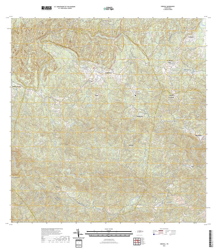
Map Details
Date Portrayed1946
Date Published1946
PublisherU.S. Geological Survey
Map TypeTopographic
Scale1:30,000
Physical Dimensions19.8 x 20.9 inches
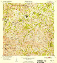
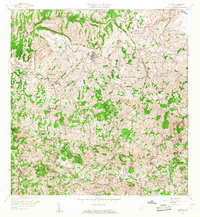
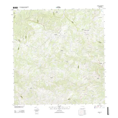
Editions of this 1946 Corozal Map
3 editions found
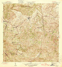
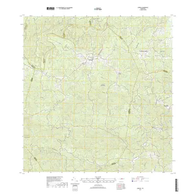
Historical Maps of Corozal Through Time
7 maps found
Featured Locations
- Reparto Pérez, Toa Alta
- Sunflower Valley, Toa Alta
- Los Pelusa, Naranjito
- Corozal, Corozal
- Sector Rolo Barrera, Corozal
Source Details
SourceU.S. Geological Survey
CopyrightPublic Domain