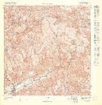
1947 Map of Orocovis SO
USGS Topo · Published 1947About this map
The Cordillera Central mountain range dominates this 1947 topographic survey, showing the steep, interior highlands of Puerto Rico during an era of transition. The municipal seat of Villalba is situated in the lower elevations of the southwest, where the Río Jacaguas begins its descent through the valley. This preliminary map captures the agricultural and residential patterns of the mid-20th century, notably identifying Hacienda Limón and the Capilla de San José near the border of Municipio de Coamo.
Find a feature on this map
18 named features on this map. Tap any name to fly to it.
Don’t see what you’re looking for? This feature index may not catch every label — zoom into the map to look around manually.
Map Details
Editions of this 1947 Orocovis SO Map
This is the sole edition of this map. No revisions or reprints were ever made.
Other maps of this area

1945 · Ponce
USGS Topo · 1:30,000

1945 · Rio Descalabrado
USGS Topo · 1:30,000

1946 · Jayuya
USGS Topo · 1:30,000

1946 · Orocovis
USGS Topo · 1:30,000

1947 · Ponce NE
USGS Topo · 1:10,000
1947 · Orocovis NE
USGS Topo · 1:10,000
1947 · Orocovis SE
USGS Topo · 1:10,000
1947 · Orocovis NO
USGS Topo · 1:10,000
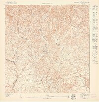
1947 · Rio Descalabrado NE
USGS Topo · 1:10,000
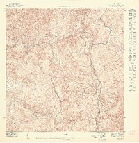
1947 · Jayuya NE
USGS Topo · 1:10,000