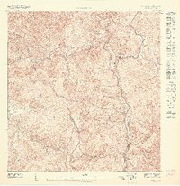
1947 Map of Jayuya NE
USGS Topo · Published 1947About this map
The peak of Tres Picachos VABM 1204.7 marks the high point of this 1940s survey, situated along the complex administrative boundaries of Ciales, Jayuya, and Orocovis. This interior highland region of Puerto Rico is defined by its deep river valleys and isolated settlements, with Casa Blanca and Coabey appearing as focal points in the mountainous terrain. The map captures the intricate drainage system of the central cordillera, including the Río Cialitos and Río Negro, alongside smaller watercourses like the Salientito. These waterways dictated the placement of agricultural plots and small homesteads, visible through the density of building symbols clustered near the riverbanks and along the ridges of Palmas. Researchers of the island's interior will find the precise triangulation and topographic detail essential for understanding the historical land use before modern development reached these remote summits.
Find a feature on this map
14 named features on this map. Tap any name to fly to it.
Don’t see what you’re looking for? This feature index may not catch every label — zoom into the map to look around manually.
Map Details
Editions of this 1947 Jayuya NE Map
This is the sole edition of this map. No revisions or reprints were ever made.
Other maps of this area

1946 · Ciales
USGS Topo · 1:30,000

1946 · Jayuya
USGS Topo · 1:30,000

1946 · Florida
USGS Topo · 1:30,000

1946 · Orocovis
USGS Topo · 1:30,000
1947 · Ciales SO
USGS Topo · 1:10,000
1947 · Orocovis SO
USGS Topo · 1:10,000
1947 · Orocovis NO
USGS Topo · 1:10,000
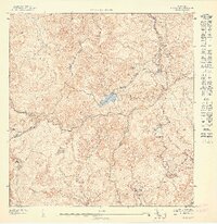
1947 · Jayuya SE
USGS Topo · 1:10,000
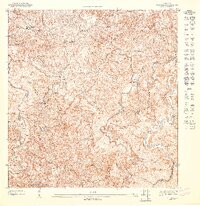
1947 · Florida SE
USGS Topo · 1:10,000
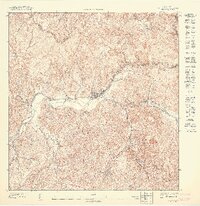
1947 · Jayuya NO
USGS Topo · 1:10,000