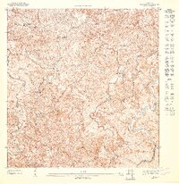
1947 Map of Florida SE
USGS Topo · Published 1947About this map
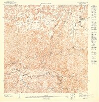
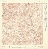
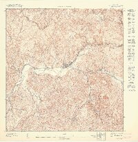
Haciendas and coffee-growing traditions define the landscape of this mid-century survey of the Ciales interior. The map reveals an agrarian society organized around family-named estates such as Hacienda Peñonales, Hacienda Aldea, and Hacienda Flor de Alba. These landmarks, along with Hacienda Reynés and Hacienda Serra, illustrate the historical land tenure and economic structure of the Puerto Rican highlands before significant urbanization. The terrain is deeply carved by the Río Yunes and its tributaries, including Quebrada Coabey and the Río Toro. Social infrastructure is anchored by the Escuela Segunda Unidad de Frontón in the north, while the prominence of Cerro Vista Alegre provides a major geographical reference point. The network of Veredas (trails) connecting these estates shows the reliance on traditional paths for traversing the steep elevations of the Jayuya and Ciales municipal border.
Find a feature on this map
17 named features on this map. Tap any name to fly to it.
Don’t see what you’re looking for? This feature index may not catch every label — zoom into the map to look around manually.
Map Details
Editions of this 1947 Florida SE Map
This is the sole edition of this map. No revisions or reprints were ever made.
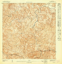
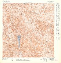
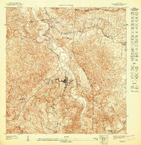
Other maps of this area

1946 · Ciales
USGS Topo · 1:30,000

1946 · Jayuya
USGS Topo · 1:30,000

1946 · Florida
USGS Topo · 1:30,000

1946 · Orocovis
USGS Topo · 1:30,000
1947 · Ciales SO
USGS Topo · 1:10,000
1947 · Orocovis NO
USGS Topo · 1:10,000
1947 · Ciales NO
USGS Topo · 1:10,000
1947 · Florida NO
USGS Topo · 1:10,000
1947 · Jayuya NE
USGS Topo · 1:10,000
1947 · Jayuya NO
USGS Topo · 1:10,000