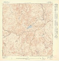
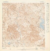
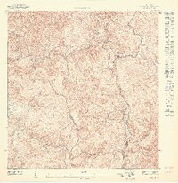
1947 Map of Jayuya SE
USGS Topo · Published 1947About this map
The Cordillera Central dominates this high-altitude interior region, where the rugged topography of Puerto Rico's central mountain range dictates the layout of industry and agriculture. In the mid-1940s, this landscape was defined by the presence of large agricultural estates such as Hacienda Tabonuco, Hacienda San Clemente, and Hacienda El Semil, which appear as established centers of activity along the steep slopes.
Find a feature on this map
23 named features on this map. Tap any name to fly to it.
Don’t see what you’re looking for? This feature index may not catch every label — zoom into the map to look around manually.
Map Details
Editions of this 1947 Jayuya SE Map
This is the sole edition of this map. No revisions or reprints were ever made.
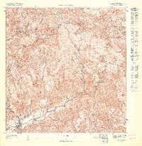
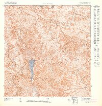
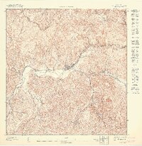
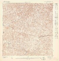
Other maps of this area

1945 · Ponce
USGS Topo · 1:30,000

1945 · Rio Descalabrado
USGS Topo · 1:30,000

1946 · Jayuya
USGS Topo · 1:30,000

1946 · Orocovis
USGS Topo · 1:30,000
1947 · Ponce NE
USGS Topo · 1:10,000
1947 · Orocovis SO
USGS Topo · 1:10,000
1947 · Orocovis NO
USGS Topo · 1:10,000
1947 · Jayuya NE
USGS Topo · 1:10,000
1947 · Jayuya NO
USGS Topo · 1:10,000
1947 · Rio Descalabrado NO
USGS Topo · 1:10,000