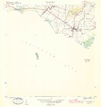
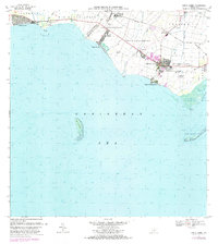
1944 Map of Santa Isabel
USGS Topo · Published 1944About this map
The agricultural south coast of Puerto Rico during the 1940s is defined here by the irrigation systems and estates of the coastal plain. Large landholdings, recorded as colonias and haciendas, dominate the landscape surrounding the town of Santa Isabel. Names like Hacienda Florida, Hacienda Destino, and Colonia Hawaii illustrate the concentrated sugar-growing economy that relied on the complex network of the Canal and various local rivers.
Find a feature on this map
24 named features on this map. Tap any name to fly to it.
Don’t see what you’re looking for? This feature index may not catch every label — zoom into the map to look around manually.
Map Details
Editions of this 1944 Santa Isabel Map
3 editions found
Historical Maps of Santa Isabel Through Time
7 maps found

1944 Santa Isabel
Santa Isabel Municipio, PR
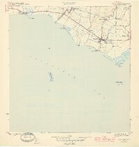
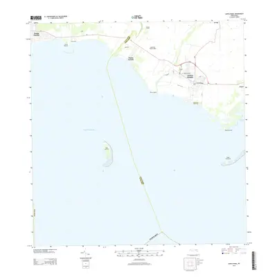
1952 Santa Isabel
Santa Isabel Municipio, PR
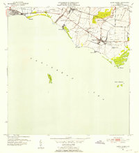
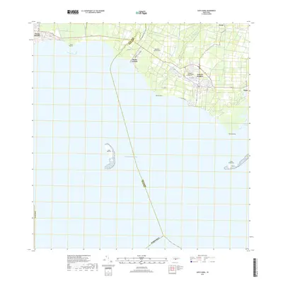
1960 Santa Isabel
Santa Isabel Municipio, PR
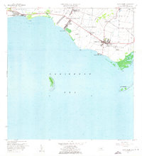
1972 Santa Isabel
Santa Isabel Municipio, PR
2013 Santa Isabel
Santa Isabel Municipio, PR
2018 Santa Isabel
Santa Isabel Municipio, PR
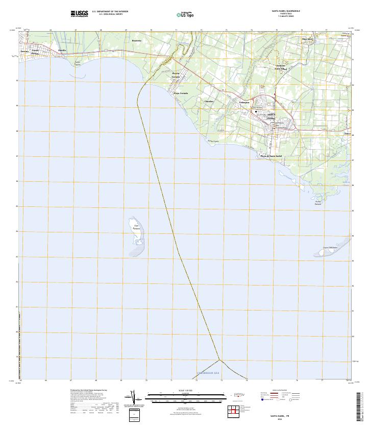
2024 Santa Isabel
Santa Isabel Municipio, PR
Featured Locations
- Santa Isabel
- Bizarreta, Juana Díaz
- Pastillo, Juana Díaz
- Santa Isabel, Santa Isabel
- Estación Santa Isabel, Santa Isabel