Loading...
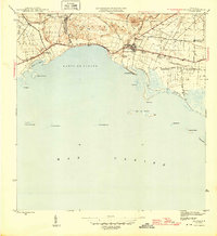
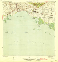
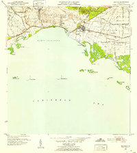
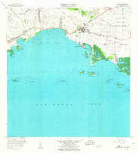
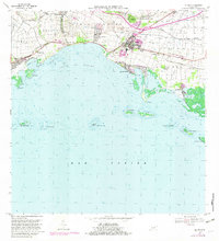
Loading map...1945 Map of Salinas
USGS Topo · Published 1945About this map
Sugar production and coastal trade define the landscape of Salinas during the mid-1940s. The region is dotted with numerous agricultural estates and processing centers, including Central Caribe and a network of haciendas such as Hacienda Palos, Hacienda Carmen, and Hacienda Teresa. These sites, alongside residential colonies like Colonia Fortune and Colonia Esperanza, illustrate the organized industrial-social structure of the era's plantation economy.
Find a feature on this map
40 named features on this map. Tap any name to fly to it.
Don’t see what you’re looking for? This feature index may not catch every label — zoom into the map to look around manually.
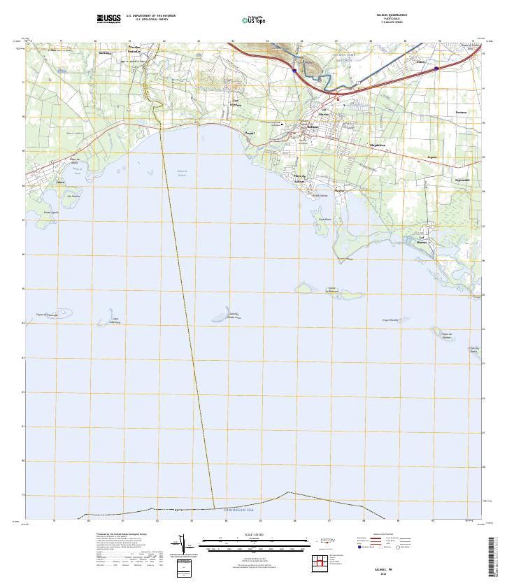
Map Details
Date Portrayed1945
Date Published1945
PublisherU.S. Geological Survey
Map TypeTopographic
Scale1:30,000
Physical Dimensions20 x 21.8 inches
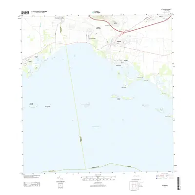
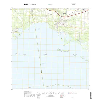
Editions of this 1945 Salinas Map
2 editions found
Historical Maps of Salinas Through Time
7 maps found
Featured Locations
- Villasol, Salinas
- Salinas, Salinas
- Sector Providencia, Salinas
- Urb. Brisas del Everlymar, Salinas
- Urb. Marbella, Salinas
Source Details
SourceU.S. Geological Survey
CopyrightPublic Domain