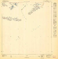
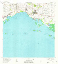
1947 Map of Central Aquirre SO
USGS Topo · Published 1947About this map
Bahía de Jobos defines the northern reaches of this coastal survey, where the waters of the Mar Caribe meet the southern shore of Puerto Rico. Conducted in 1943, this topography captures a landscape dominated by saltwater systems and mangrove-dotted cays. The map illustrates the maritime boundary between the Municipio de Salinas and the Municipio de Guayama, an area defined by natural landmarks like the Boca del Infierno channel. Numerous small islands, including the Cayos de Barca and Cayos Caribes, stretch across the bay, while coastal points such as Pta Colchones and Pta Pozuelo anchor the shoreline. This specialized view focuses almost entirely on the complex geography of the archipelago and the protected waters of the bay during the mid-1940s.
Find a feature on this map
9 named features on this map. Tap any name to fly to it.
Don’t see what you’re looking for? This feature index may not catch every label — zoom into the map to look around manually.
Map Details
Editions of this 1947 Central Aquirre SO Map
This is the sole edition of this map. No revisions or reprints were ever made.
Other maps of this area

1945 · Central Aguirre
USGS Topo · 1:30,000

1945 · Salinas
USGS Topo · 1:30,000
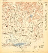
1947 · Central Aguirre NE
USGS Topo · 1:10,000
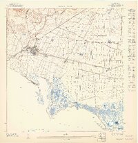
1947 · Salinas NE
USGS Topo · 1:10,000
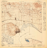
1947 · Central Aquirre NO
USGS Topo · 1:10,000
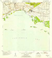
1952 · Salinas
USGS Topo · 1:30,000
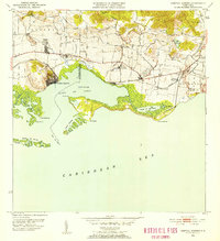
1952 · Central Aguirre
USGS Topo · 1:30,000
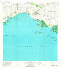
1960 · Salinas
USGS Topo · 1:20,000
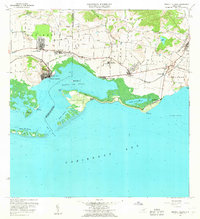
1960 · Central Aguirre
USGS Topo · 1:20,000
1970 · Salinas
USGS Topo · 1:20,000