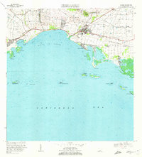
1970 Map of Salinas
USGS Topo · Published 1972About this map
Salinas serves as the central hub on this south-coast Puerto Rico landscape, where the foothills of Cerro Respaldo and Cerro Modesto meet the Caribbean shore. The geography is defined by a series of agricultural estates and settlements including Hacienda Carmen, Hacienda Margarita, and Hacienda Palés, reflecting a coastal economy rooted in the surrounding fertile plains. Infrastructure of the era is evident in the Canal de Patillas, the Aeropuerto de Salinas, and the broadcasting presence of the Antena de Radio (WHOY).
Find a feature on this map
53 named features on this map. Tap any name to fly to it.
Don’t see what you’re looking for? This feature index may not catch every label — zoom into the map to look around manually.
Map Details
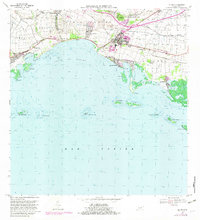
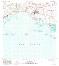
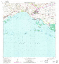
Editions of this 1970 Salinas Map
4 editions found
Other maps of this area

1944 · Santa Isabel
USGS Topo · 1:30,000

1945 · Rio Descalabrado
USGS Topo · 1:30,000

1945 · Central Aguirre
USGS Topo · 1:30,000

1945 · Salinas
USGS Topo · 1:30,000

1946 · Coamo
USGS Topo · 1:30,000

1946 · Cayey
USGS Topo · 1:30,000
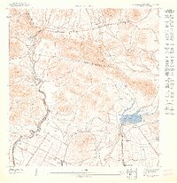
1947 · Rio Descalabrado SE
USGS Topo · 1:10,000

1947 · Cayey SO
USGS Topo · 1:10,000
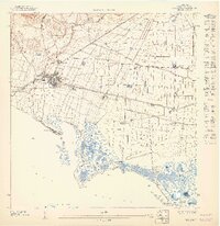
1947 · Salinas NE
USGS Topo · 1:10,000
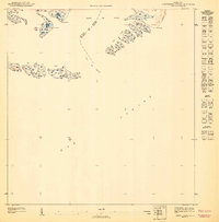
1947 · Central Aquirre SO
USGS Topo · 1:10,000
Featured Places
- Salinas
- Villasol, Salinas
- Urb. Marbella, Salinas
- Urb. Brisas del Everlymar, Salinas
- Sector Providencia, Salinas