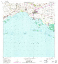
1970 Map of Salinas
USGS Topo · Published 1982About this map
The town of Salinas serves as the focal point of this coastal survey, where the Rio Nigua meets the Caribbean shoreline. The landscape is defined by its agricultural and maritime heritage, with several haciendas such as Hacienda Palés, Hacienda Carmen, and Hacienda Teresa indicating the enduring presence of the island's estate-based land system. Just north of the town center, the sprawling grounds of the Camp Santiago U.S. Military Reservation occupy the higher ground beneath Cerro Modesto. Along the coast, the sheltered waters of the Bahia de Rincon are dotted with mangroves and small islands like the Cayos de Ratones, while the coastal settlement of Playa de Salinas and the nearby Antena de Radio (WHOY) highlight the mid-century infrastructure of this southern port region. The inclusion of the Planta de Tratamiento de Aguas Negras and the Aeropuerto de Salinas further illustrates the modernization of the municipal infrastructure during the 1970s.
Find a feature on this map
55 named features on this map. Tap any name to fly to it.
Don’t see what you’re looking for? This feature index may not catch every label — zoom into the map to look around manually.
Map Details
Editions of this 1970 Salinas Map
4 editions found
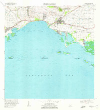
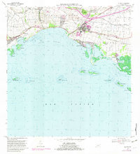
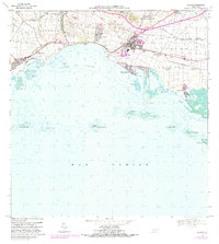
Other maps of this area

1944 · Santa Isabel
USGS Topo · 1:30,000

1945 · Rio Descalabrado
USGS Topo · 1:30,000

1945 · Central Aguirre
USGS Topo · 1:30,000

1945 · Salinas
USGS Topo · 1:30,000

1946 · Coamo
USGS Topo · 1:30,000

1946 · Cayey
USGS Topo · 1:30,000
1947 · Rio Descalabrado SE
USGS Topo · 1:10,000

1947 · Cayey SO
USGS Topo · 1:10,000
1947 · Salinas NE
USGS Topo · 1:10,000
1947 · Central Aquirre SO
USGS Topo · 1:10,000
Featured Places
- Salinas
- Villasol, Salinas
- Urb. Marbella, Salinas
- Urb. Brisas del Everlymar, Salinas
- Sector Providencia, Salinas