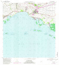
1970 Map of Salinas
USGS Topo · Published 1982About this map
The coastal sugar-producing landscape of southern Puerto Rico is captured here during a period of transition between agricultural traditions and modern infrastructure. The town of Salinas serves as the inland anchor, while the shoreline is defined by the BahíA De RincóN and a network of lagoons and cays including Cayos de Ratones and Mar Negro. Historical haciendas like Hacienda Carmen, Hacienda Palés, and Hacienda Teresa are still clearly marked, reflecting the region's plantation heritage.
Find a feature on this map
52 named features on this map. Tap any name to fly to it.
Don’t see what you’re looking for? This feature index may not catch every label — zoom into the map to look around manually.
Map Details
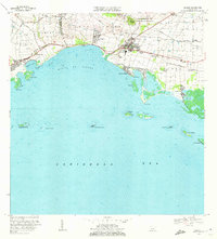
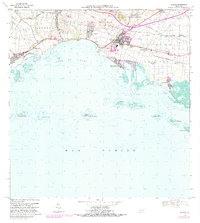
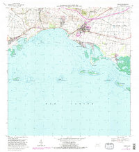
Editions of this 1970 Salinas Map
4 editions found
Other maps of this area

1944 · Santa Isabel
USGS Topo · 1:30,000

1945 · Rio Descalabrado
USGS Topo · 1:30,000

1945 · Central Aguirre
USGS Topo · 1:30,000

1945 · Salinas
USGS Topo · 1:30,000

1946 · Coamo
USGS Topo · 1:30,000

1946 · Cayey
USGS Topo · 1:30,000
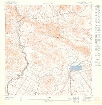
1947 · Rio Descalabrado SE
USGS Topo · 1:10,000

1947 · Cayey SO
USGS Topo · 1:10,000
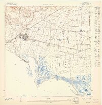
1947 · Salinas NE
USGS Topo · 1:10,000
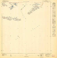
1947 · Central Aquirre SO
USGS Topo · 1:10,000
Featured Places
- Salinas
- Villasol, Salinas
- Urb. Marbella, Salinas
- Urb. Brisas del Everlymar, Salinas
- Sector Providencia, Salinas