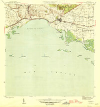
1945 Map of Salinas
USGS Topo · Published 1945About this map
The coastal plains of southern Puerto Rico reveal a landscape dominated by the sugar economy and maritime geography at the end of the Second World War. The municipality of Salinas serves as the central hub, supported by a dense network of industrial agricultural outposts including Hacienda Carmen, Hacienda Teresa, and Colonia Esperanza. Transportation through this fertile corridor is defined by the Ponce and Guayama railroad and the Línea Central Caribe, which move goods toward the coast.
Find a feature on this map
42 named features on this map. Tap any name to fly to it.
Don’t see what you’re looking for? This feature index may not catch every label — zoom into the map to look around manually.
Map Details
Editions of this 1945 Salinas Map
2 editions found
Other maps of this area

1944 · Santa Isabel
USGS Topo · 1:30,000

1945 · Rio Descalabrado
USGS Topo · 1:30,000

1945 · Central Aguirre
USGS Topo · 1:30,000

1945 · Salinas
USGS Topo · 1:30,000

1946 · Coamo
USGS Topo · 1:30,000

1946 · Cayey
USGS Topo · 1:30,000
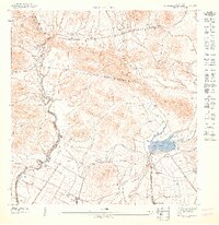
1947 · Rio Descalabrado SE
USGS Topo · 1:10,000

1947 · Cayey SO
USGS Topo · 1:10,000
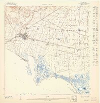
1947 · Salinas NE
USGS Topo · 1:10,000
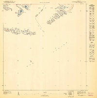
1947 · Central Aquirre SO
USGS Topo · 1:10,000
Featured Places
- Salinas
- Villasol, Salinas
- Urb. Marbella, Salinas
- Urb. Brisas del Everlymar, Salinas
- Sector Providencia, Salinas