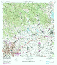
1970 Map of Ponce
USGS Topo · Published 1982About this map
Central Mercedita stands as a focal point of industrial activity on the coastal plain north of the Caribbean, surrounded by a complex network of agriculture and transport. This 1970s landscape reveals the transition from traditional estates to modern infrastructure, where numerous named haciendas such as Hacienda Monserrate and Hacienda Cristina occupy the fertile grounds between the Río Portugués and Río Jacaguas. The urban expansion of the Ponce city limit is visible in purple tint, encroaching upon the historic rural barrios of Real Arriba and Real Abajo.
Find a feature on this map
189 named features on this map. Tap any name to fly to it.
Don’t see what you’re looking for? This feature index may not catch every label — zoom into the map to look around manually.
Map Details
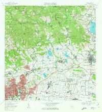
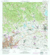
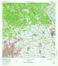
Editions of this 1970 Ponce Map
4 editions found
Other maps of this area

1944 · Santa Isabel
USGS Topo · 1:30,000

1945 · Playa De Ponce
USGS Topo · 1:30,000

1945 · Ponce
USGS Topo · 1:30,000

1945 · Rio Descalabrado
USGS Topo · 1:30,000

1946 · Punta Cuchara
USGS Topo · 1:30,000

1946 · Jayuya
USGS Topo · 1:30,000

1946 · Orocovis
USGS Topo · 1:30,000

1946 · Penuelas
USGS Topo · 1:30,000

1946 · Adjuntas
USGS Topo · 1:30,000

1947 · Ponce NE
USGS Topo · 1:10,000