Loading...
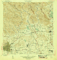
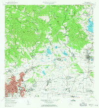
Loading map...1945 Map of Ponce
USGS Topo · Published 1945About this map
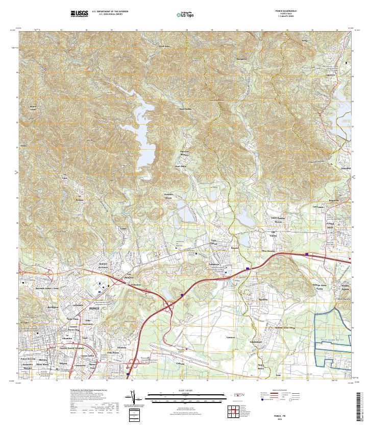
Central Mercedita stands as a primary industrial landmark in this southern coastal landscape, anchoring a network of sugarcane production and transport. The area is defined by a dense system of estates, including Hacienda Margarita, Hacienda Monserrate, and Hacienda Maragüez, which reflect the agricultural economy of the mid-1940s. These haciendas are interconnected by numerous watercourses such as the Río Português and Río Inabón, and are supported by small residential clusters like Poblado Collores and Poblado Jacaguas.
Find a feature on this map
82 named features on this map. Tap any name to fly to it.
Don’t see what you’re looking for? This feature index may not catch every label — zoom into the map to look around manually.
Map Details
Date Portrayed1945
Date Published1945
PublisherU.S. Geological Survey
Map TypeTopographic
Scale1:30,000
Physical Dimensions19.8 x 21 inches
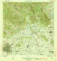
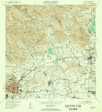
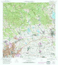
Editions of this 1945 Ponce Map
3 editions found

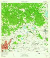
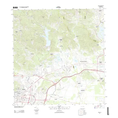
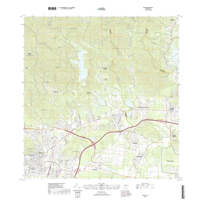
Historical Maps of Ponce Through Time
8 maps found
Featured Locations
Source Details
SourceU.S. Geological Survey
CopyrightPublic Domain