Old Maps of Furnias, Las Marías
Explore 31 old maps of Furnias, spanning from 1938 to today. These high-resolution historic maps reveal how streets, neighborhoods, landmarks, and natural features evolved over time — perfect for genealogy, metal detecting, research, and local history exploration.
What you can do with these maps:
- See how Furnias changed over time: Compare historical maps to modern-day views to trace roads, homesites, rail lines & more.
- View detailed metadata: Each map includes creators, publishers, year, scale, and archive source.
- Overlay maps with satellite & LiDAR: Visualize the past alongside modern tools to explore terrain & human change.
- Trusted historical sources: Maps sourced from the USGS, Library of Congress, and other archives.
- Access maps your way: View online, download high-res files, or order prints for personal or research use.
Start exploring old maps of Furnias to uncover forgotten places, hidden landmarks, and the deep history beneath your feet.
Furnias, Las Marías maps
(31)- 1938 Map of Alto Sano
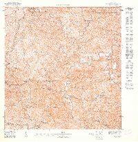
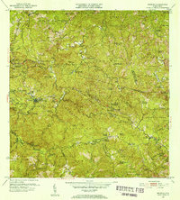
 1938 Alto Sano1938 Print · USGSWestern Puerto Rico is captured here in the late 1930s as a landscape of rural schoolhouses and family estates. Genealogists can trace property names like Hacienda Esperanza or locate community centers such as the Barrio Espino Medical Center.
 - 1938 Map of San Sebastian
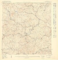
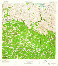
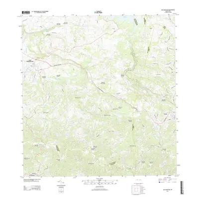
 1938 San Sebastian1938 Print · USGSSan Sebastian and the surrounding highlands are captured in the late 1930s during a time of rural growth and agricultural production. Researchers can locate dozens of country schools, family estates like Hacienda Buena Vista, and the path of the Central Soller RR.
 - 1941 Map of San Sebastian
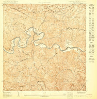
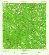
 1941 San Sebastian1941 Print · USGSWestern Puerto Rico is captured here in the early 1940s, highlighting the agricultural heartbeat and social centers of the interior. Researchers can trace historic family-named estates like Hacienda San Pedro and Hacienda Espino or locate the industrial Central Soler.5 unique versions available
 - 1941 Map of Rosario, 1952 Print
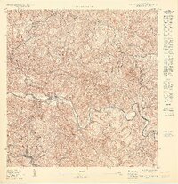
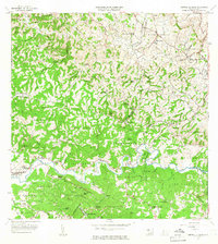
 1941 Rosario1952 Print · USGSWestern Puerto Rico's mountain interior comes alive in this mid-century survey of the Rosario region. Researchers can trace ancestral lands through numerous named estates like Hacienda Juanita and Hacienda Esperanza, or locate early community centers such as Limon and Iglesia de San Jose.2 unique versions available
 - 1942 Map of Central La Plata
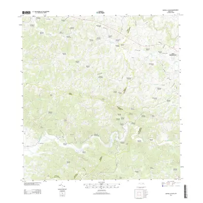
 1942 Central La Plata1942 Print · USGSWestern Puerto Rico during the early 1940s reveals a landscape of sugar production and family estates centered around the Rio Grande de Añasco. Researchers can trace the industrial footprint of Central La Plata and locate traditional plantations such as Hacienda Esperanza and Hacienda Casen.6 unique versions available
 - 1942 Map of Rosario
 1942 Rosario1942 Print · USGSWestern Puerto Rico is captured here in the era before widespread urbanization, showing the mountainous agricultural estates and early rail infrastructure. Genealogists can trace family holdings at Hacienda Esperanza or locate landmarks like the Hospital de Tuberculosis and American R. R.3 unique versions available
 - 1946 Map of Maricao
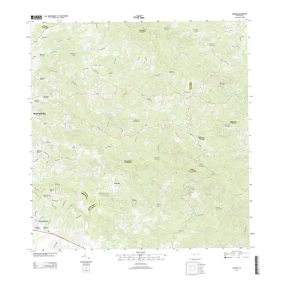
 1946 Maricao1946 Print · USGSMaricao and the western ridges of the Cordillera Central are shown in detail during the 1940s, highlighting the island's traditional plantation culture. Researchers can locate numerous family estates like Hacienda San Antonio and schools such as the Segunda Unidad Escuela Vocacional Francisco Vicenty.3 unique versions available
 - 1946 Map of Ciales
 1946 Ciales1946 Print · USGSIn the mid-1940s, the mountainous interior between Ciales and Morovis remained a world of coffee estates and remote parishes. Genealogists can locate specific rural landmarks like Hacienda Maria, the Escuela Segunda Unidad de Pesas, and Iglesia San Antonio.3 unique versions available
 - 1947 Map of Maricao NO
 1947 Maricao NO1947 Print · USGSThe highland coffee country of western Puerto Rico comes alive in this post-war survey, centered on the river-cut valleys of the interior. Genealogists and historians can trace family estates like Hacienda Balare and Hacienda San Antonio or locate the historic Iglesia de la Purisima.
 - 1950 Map of Rosario NE
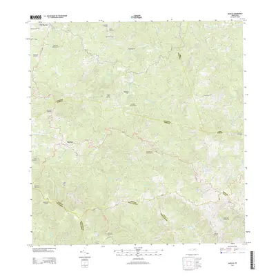
 1950 Rosario NE1950 Print · USGSMid-century Mayagüez and Las Marías come alive through this 1950 topography of the island's interior coffee-growing regions. Researchers can trace the heritage of old estates like Hacienda Esperanza and Hacienda Juanita or locate landmarks like Pico San Bernardo.
 - 1950 Map of Central La Plata SE
 1950 Central La Plata SE1950 Print · USGSMid-century life in the Puerto Rican interior is defined by the winding Río Grande de Añasco and the high ridges of Alto Sano. Genealogists and historians can locate rural landmarks like the Escuela Segunda Unidad de Añones and Cerro Valladares.
 - 1950 Map of San Sebastian SO
 1950 San Sebastian SO1950 Print · USGSMid-century western Puerto Rico comes into focus along the winding Río Grande de Anasco. Researchers can trace the agricultural footprint of the era through the Hacienda Buena Vista and the mountain settlement of Las Marias.
 - 1952 Map of Maricao, 1953 Print
 1952 Maricao1953 Print · USGSWestern Puerto Rico’s coffee country is mapped in the early fifties, showing a landscape defined by traditional haciendas and emerging mid-century infrastructure. Genealogists and historians can trace family-named estates like Hacienda Lealtad and Hacienda Santa Rita alongside landmarks like the Criadero Insular de Peces.2 unique versions available
 - 1953 Map of Ciales
 1953 Ciales1953 Print · USGSCentral Puerto Rico’s mountainous interior comes alive in this mid-century survey of the rugged Ciales and Morovis highlands. Genealogists and historians can trace family roots through named barrios like Jaguas and Pesas, and locate rural landmarks such as Hacienda Maria and the Iglesia Ascensión.
 - 1955 Map of Rosario, 1958 Print
 1955 Rosario1958 Print · USGSMid-century San Germán and Maricao are shown here during a time when the highland economy still revolved around traditional haciendas. Genealogists and historians can locate family estates like Hacienda Juanita and community centers such as Rosario or the Iglesia de San Jose.
 - 1955 Map of Central La Plata, 1958 Print
 1955 Central La Plata1958 Print · USGSThe mountainous interior of western Puerto Rico is captured here in the mid-fifties, dominated by the industrial site of Central La Plata. Genealogists and historians can trace numerous family-named landmarks and coffee-era estates, including Hacienda Morales, Hacienda Lambert, and Mata y Orsini.
 - 1958 Map of San Sebastian, 1960 Print
 1958 San Sebastian1960 Print · USGSSan Sebastián and the surrounding highlands are captured in the late fifties during a period of industrial and agricultural transition. Researchers can trace ancestral lands through numerous named estates like Hacienda Esperanza or visit the grounds of Central Soller.3 unique versions available
 - 1960 Map of Maricao, 1961 Print
 1960 Maricao1961 Print · USGSThe mountains of western Puerto Rico are captured here in the early sixties, showing the agricultural heritage of Maricao. Genealogists can trace family lands across Hacienda Lealtad, Hacienda Santa Rita, and Pueblo Nuevo.3 unique versions available
 - 1964 Map of Central La Plata, 1966 Print
 1964 Central La Plata1966 Print · USGSThe river valleys of western Puerto Rico are shown here in the mid-1960s as the traditional sugar economy transitioned. Genealogists can locate family-named estates like Hacienda Lamberti or trace the Via Ferrocarril Antigua through the hills.3 unique versions available
 - 1964 Map of Rosario, 1968 Print
 1964 Rosario1968 Print · USGSThe hill country of western Puerto Rico in the mid-sixties reveals a landscape of historic haciendas and emerging institutions. Genealogists and historians can locate family estates like Hacienda Retiro and community landmarks such as Capilla de Santa Ana or Escuela Mariano Abril.2 unique versions available
 - 2013 Map of San Sebastian, 2013 Print
 2013 San Sebastian2013 Print · USGSCovers Furnias, including San Sebastián, Lares, and other nearby areas
 - 2013 Map of Central La Plata, 2013 Print
 2013 Central La Plata2013 Print · USGSCovers Furnias, including Sector Los Crespos, Sector La Grúa, and other nearby areas
 - 2013 Map of Rosario, 2013 Print
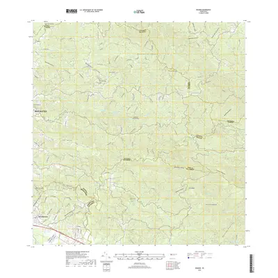
 2013 Rosario2013 Print · USGSCovers Furnias, including Sector Los Limones, Sector Pascual Perez, and other nearby areas
 - 2013 Map of Maricao, 2013 Print
 2013 Maricao2013 Print · USGSCovers Furnias, including Maricao, Yauco, and other nearby areas
 - 2018 Map of Rosario, 2018 Print
 2018 Rosario2018 Print · USGSCovers Furnias, including Sector Los Limones, Sector Pascual Perez, and other nearby areas
Showing maps 1-25 of 31
Frequently asked questions
- What are the different types of historical maps available for Furnias?
- What is the oldest map of Furnias?
- Where can I purchase historical maps of Furnias for my home or office?
- Where can I download high-res historical maps of Furnias?
- Are there historical topographic maps available for Furnias?
- Is there historical aerial imagery available for Furnias?
- Where are historical maps of Furnias sourced from?