
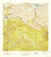
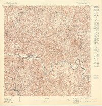
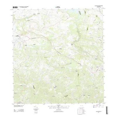
1938 Map of Alto Sano
USGS Topo · Published 1938About this map
Agricultural life in late 1930s Puerto Rico is centered on the valley of the Rio Culebrinas and the Rio Grande. The landscape is dominated by a high density of named haciendas and fincas, including Hacienda Mata, Hacienda Lamberti, and Finca San Miguel, reflecting an economy deeply rooted in local landholdings. Industrial activity is anchored by Central La Plata in the northeastern quadrant, while the social infrastructure is marked by dozens of rural schools such as the Pesante Rural School and the Escuela Benjamin Franklin. The intricate terrain is defined by numerous peaks like Cerro Pelao and Cerro Pichon, with the Barrio Espino Medical Center serving as a vital point of interest for the surrounding rural population. This survey captures a moment of intensive rural settlement and education expansion just prior to the mid-century shifts in the island's interior.
Find a feature on this map
59 named features on this map. Tap any name to fly to it.
Don’t see what you’re looking for? This feature index may not catch every label — zoom into the map to look around manually.
Map Details
Editions of this 1938 Alto Sano Map
This is the sole edition of this map. No revisions or reprints were ever made.
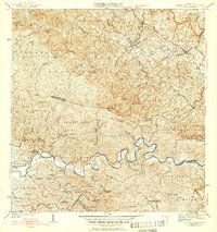
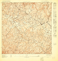
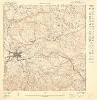
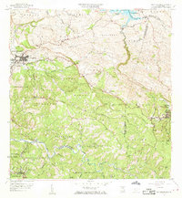
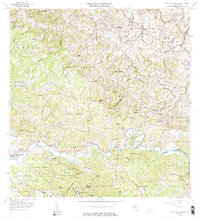
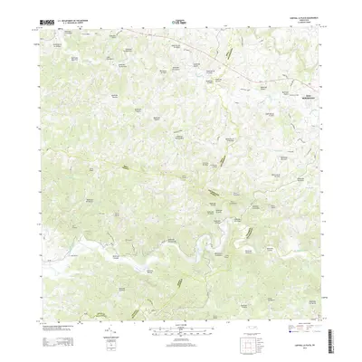
Historical Maps of Sector Serrano Through Time
18 maps found
1938 Alto Sano
San Sebastián Municipio, PR

1938 San Sebastian
San Sebastián Municipio, PR
1941 San Sebastian
San Sebastián Municipio, PR
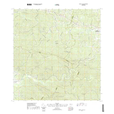
1942 Central La Plata
San Sebastián Municipio, PR

1946 Ciales
San Sebastián Municipio, PR
1950 Central La Plata NE
San Sebastián Municipio, PR

1950 San Sebastian NE
San Sebastián Municipio, PR
1950 San Sebastian NO
San Sebastián Municipio, PR
1950 San Sebastian SO
San Sebastián Municipio, PR

1953 Ciales
San Sebastián Municipio, PR

1955 Central La Plata
San Sebastián Municipio, PR
1958 San Sebastian
San Sebastián Municipio, PR
1964 Central La Plata
San Sebastián Municipio, PR
2013 Central La Plata
San Sebastián Municipio, PR
2013 San Sebastian
San Sebastián Municipio, PR
2018 Central La Plata
San Sebastián Municipio, PR
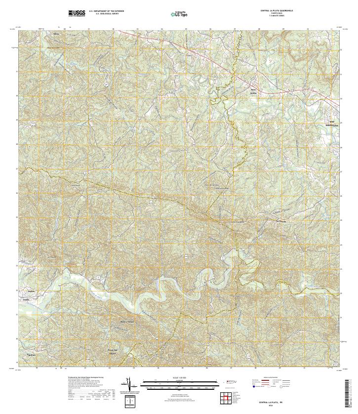
2024 Central La Plata
San Sebastián Municipio, PR
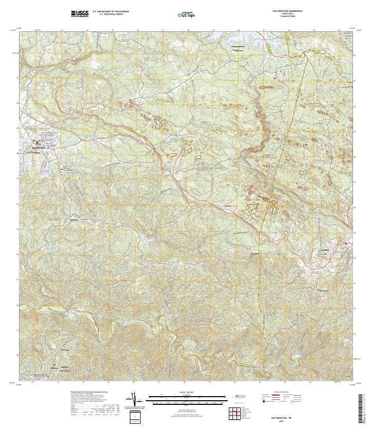
2024 San Sebastian
San Sebastián Municipio, PR
Featured Locations
- Sector Los Ramos, Moca
- Sector Los Crespos, San Sebastián
- Sector Ramos, San Sebastián
- Sector Serrano, San Sebastián
- Sector La Grúa, Añasco