
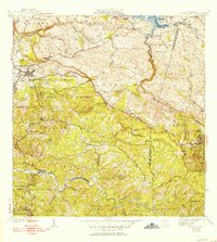
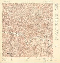
1938 Map of San Sebastian
USGS Topo · Published 1938About this map
San Sebastian serves as the focal point of this pre-war survey, which captures the interior highlands of Puerto Rico during a period of agricultural and industrial transitions. The town's grid is clearly defined near the Rio Culebrinas, supported by infrastructure like the Acueducto de San Sebastian. The landscape is marked by a dense network of educational and social landmarks, including over twenty-five schools such as Escuela Lincoln and Escuela Washington, alongside religious sites like the Iglesia Presbiteriana Piedras Blancas.
Find a feature on this map
66 named features on this map. Tap any name to fly to it.
Don’t see what you’re looking for? This feature index may not catch every label — zoom into the map to look around manually.
Map Details
Editions of this 1938 San Sebastian Map
This is the sole edition of this map. No revisions or reprints were ever made.
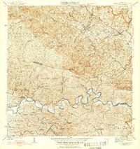
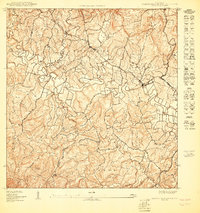
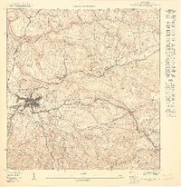
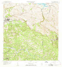
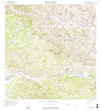
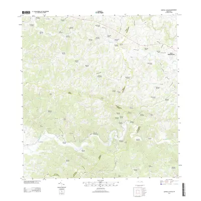
Historical Maps of San Sebastián Through Time
18 maps found

1938 Alto Sano
San Sebastián Municipio, PR
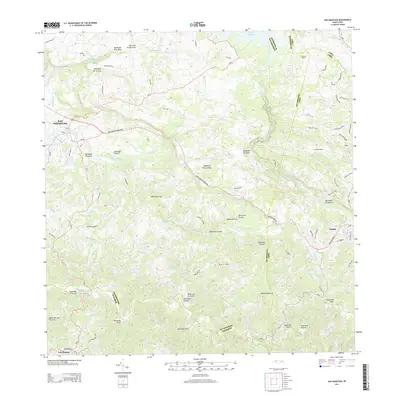
1938 San Sebastian
San Sebastián Municipio, PR
1941 San Sebastian
San Sebastián Municipio, PR
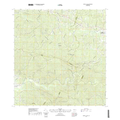
1942 Central La Plata
San Sebastián Municipio, PR

1946 Ciales
San Sebastián Municipio, PR
1950 Central La Plata NE
San Sebastián Municipio, PR

1950 San Sebastian NE
San Sebastián Municipio, PR
1950 San Sebastian NO
San Sebastián Municipio, PR
1950 San Sebastian SO
San Sebastián Municipio, PR

1953 Ciales
San Sebastián Municipio, PR

1955 Central La Plata
San Sebastián Municipio, PR
1958 San Sebastian
San Sebastián Municipio, PR
1964 Central La Plata
San Sebastián Municipio, PR
2013 Central La Plata
San Sebastián Municipio, PR
2013 San Sebastian
San Sebastián Municipio, PR
2018 Central La Plata
San Sebastián Municipio, PR
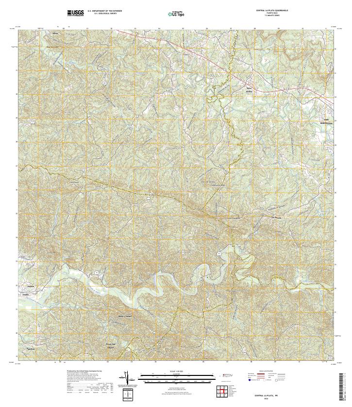
2024 Central La Plata
San Sebastián Municipio, PR
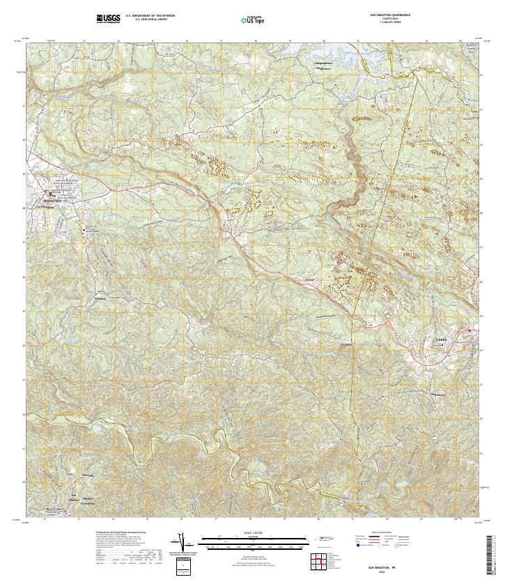
2024 San Sebastian
San Sebastián Municipio, PR
Featured Locations
- Sector Isidro Román, Lares
- Lares, Lares
- Sector Quinto Ríos, San Sebastián
- San Sebastián, San Sebastián
- Las Marías, Las Marías