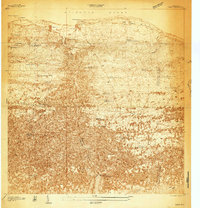
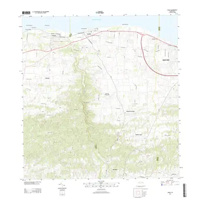
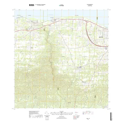
1938 Map of Camuy
USGS Topo · Published 1938About this map
The coastal settlements of Camuy and Hatillo anchor the northern shore of this 1930s survey, where the American RR of Porto Rico and Carretera No 2 parallel the Atlantic Ocean. The landscape transitions from the sandy points at Pt Manglillo and Pt Peñon into a dense inland network of rural schools and family-named landmarks. This era reveals a high density of educational sites, such as Escuela Dr Santiago Veve and Escuela Woodrow Wilson, serving the surrounding agricultural communities.
Find a feature on this map
41 named features on this map. Tap any name to fly to it.
Don’t see what you’re looking for? This feature index may not catch every label — zoom into the map to look around manually.
Map Details
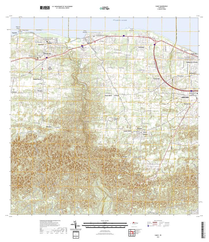
Editions of this 1938 Camuy Map
This is the sole edition of this map. No revisions or reprints were ever made.
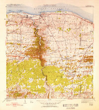
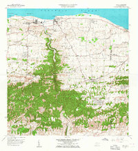
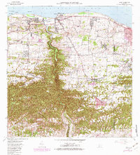
Historical Maps of Hatillo Through Time
7 maps found
Featured Locations
- Camuy, Camuy
- Hacienda de Camuy, Camuy
- Estancias de Vista Verde, Hatillo
- Hatillo, Hatillo
- Las Cunetas, Arecibo