
1941 Map of San Sebastian
USGS Topo · Published 1941About this map
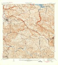
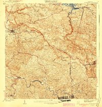
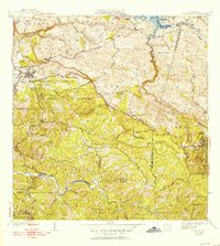
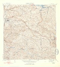
The town of San Sebastian serves as a focal point in this 1941 survey, illustrating the agricultural and social landscape of western Puerto Rico just before the mid-century. The map meticulously documents a region defined by its hacienda economy, marking established estates such as Hacienda San Pedro, Hacienda Esperanza, and Hacienda Buena Vista. These large agricultural holdings, alongside the industrial footprint of Central Soler, suggest a period where sugar or coffee production remained central to the local economy. Religious life is well-represented through markers for the Iglesia Presbiteriana, Iglesia Santa Ana, and Iglesia Santa Teresita. The intricate hydrology of the area is mapped through the winding course of the Rio Grande de Anasco and its many tributaries, while the Acueducto de San Sebastian highlights the era's municipal infrastructure. The terrain is divided by the boundaries of the Municipio de Camuy, Municipio de Lares, and others, providing a clear record of administrative divisions during this era.
Find a feature on this map
45 named features on this map. Tap any name to fly to it.
Don’t see what you’re looking for? This feature index may not catch every label — zoom into the map to look around manually.
Map Details
Editions of this 1941 San Sebastian Map
5 editions found
Other maps of this area

1937 · Moca
USGS Topo · 1:20,000

1938 · Alto Sano
USGS Topo · 1:20,000

1938 · Camuy
USGS Topo · 1:20,000

1938 · San Sebastian
USGS Topo · 1:20,000

1938 · Quebradillas
USGS Topo · 1:20,000

1941 · Moca
USGS Topo · 1:30,000

1941 · Rosario
USGS Topo · 1:30,000

1942 · Moca
USGS Topo · 1:30,000

1942 · Central La Plata
USGS Topo · 1:30,000

1942 · Rosario
USGS Topo · 1:30,000