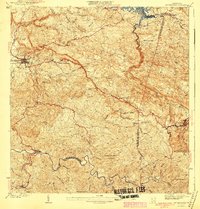
1941 Map of San Sebastian
USGS Topo · Published 1941About this map
San Sebastian stands at the heart of this 1930s topographic study, showing the town at a moment when traditional agrarian estates and emerging infrastructure defined the region. The landscape is marked by numerous historic haciendas, including Hacienda San Pedro, Hacienda Esperanza, and Hacienda Buena Vista, reflecting the island's deep coffee and sugarcane heritage. The intricate drainage network of the Rio Culebrinas and Rio Grande de Añasco basins carved the terrain into complex ridges, long before modern development altered the rural character of the municipios.
Find a feature on this map
44 named features on this map. Tap any name to fly to it.
Don’t see what you’re looking for? This feature index may not catch every label — zoom into the map to look around manually.
Map Details
Editions of this 1941 San Sebastian Map
5 editions found
Other maps of this area

1937 · Moca
USGS Topo · 1:20,000

1938 · Alto Sano
USGS Topo · 1:20,000

1938 · Camuy
USGS Topo · 1:20,000

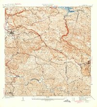
1938 · San Sebastian
USGS Topo · 1:20,000

1938 · Quebradillas
USGS Topo · 1:20,000

1941 · Moca
USGS Topo · 1:30,000

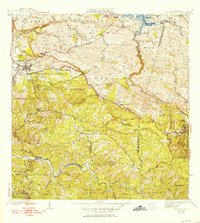
1941 · San Sebastian
USGS Topo · 1:30,000

1941 · Rosario
USGS Topo · 1:30,000

1942 · Moca
USGS Topo · 1:30,000

1942 · Central La Plata
USGS Topo · 1:30,000