
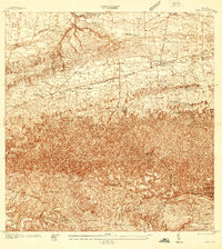
1937 Map of Moca
USGS Topo · Published 1937About this map
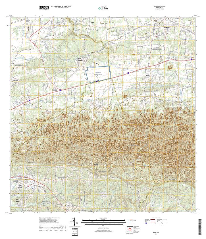
Moca sits at the transition between the coastal plains and the interior highlands of northwestern Puerto Rico during the late 1930s. The northern reaches are defined by the American RR of Porto Rico, serving a series of vital transit points including Estacion Montana, Estacion Santiago, and Estacion Arenales. This area exhibits a dense network of rural education, evidenced by dozens of named schools like Escuela Antonio Badillo Hernandez and Escuela Jose Julian Acosta, reflecting the island's mid-century focus on community development. To the south, the terrain steepens significantly toward peaks such as Monte Mariquita and Monte Encantado. Along the winding course of the Rio Culebrinas, smaller settlements like Cyba and Las Marias mark the agricultural landscape, while unique landmarks such as the Ojo de Valencia and Iglesia Ceiba Alta highlight local social centers in a region governed by the Municipio de Moca.
Find a feature on this map
54 named features on this map. Tap any name to fly to it.
Don’t see what you’re looking for? This feature index may not catch every label — zoom into the map to look around manually.
Map Details
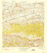
Editions of this 1937 Moca Map
2 editions found
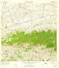
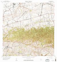
Historical Maps of Moca Through Time
8 maps found

Featured Locations
- Reparto Méndez, Isabela
- Sector Los Laureles, Aguadilla
- Reparto Santa María, Aguadilla
- Sector Nieves, Moca
- Moca, Moca