
1941 Map of Isabela
USGS Topo · Published 1941About this map
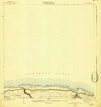
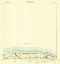
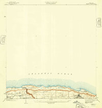
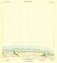
The coastal shelf of the Municipio de Isabela meets the Atlantic Ocean along a stretch of land defined by its high bluffs and early 20th-century infrastructure. This 1941 edition reflects field surveys dating back to 1922 and culture updates from 1937, showcasing a landscape transitioning into a more connected era. The RR of PR serves as a primary transit artery, running parallel to the coast through the municipal center of Isabela. Coastal landmarks like Pta Jacinto and Pta Sardina frame the northern edge, while inland, smaller settlements such as San Antonio, Aguabate, and Jobos are linked by rural routes and trails like the Camino. The community centers around religious landmarks, including the Iglesia Catolica and the Iglesia Presbiteriana de Montaña, indicating the social and spiritual hubs of these coastal and hillside neighborhoods.
Find a feature on this map
12 named features on this map. Tap any name to fly to it.
Don’t see what you’re looking for? This feature index may not catch every label — zoom into the map to look around manually.
Map Details
Editions of this 1941 Isabela Map
5 editions found
Other maps of this area

1937 · Aguadilla
USGS Topo · 1:20,000

1937 · Moca
USGS Topo · 1:20,000

1938 · Quebradillas
USGS Topo · 1:20,000

1941 · Moca
USGS Topo · 1:30,000

1942 · Moca
USGS Topo · 1:30,000

1942 · Aguadilla
USGS Topo · 1:30,000
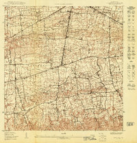
1950 · Moca NE
USGS Topo · 1:10,000
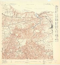
1950 · Quebradillas NO
USGS Topo · 1:10,000
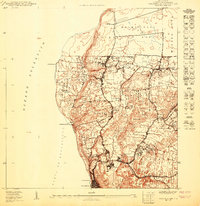
1950 · Aguadilla NE
USGS Topo · 1:10,000
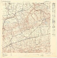
1950 · Moca NO
USGS Topo · 1:10,000
Featured Places
- Isabela
- Sector Quique Bravo, Isabela
- Reparto Santa María, Isabela
- Jardín Miramar, Isabela
- Bajura, Isabela