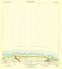
1941 Map of Isabela
USGS Topo · Published 1952About this map
The northern coastline of Puerto Rico is detailed here, centered on the Isabela municipality as it appeared in the mid-20th century. The town is shown as a dense grid above the cliffs of Guayabos, overlooking the Océano Atlántico. Notable landmarks along the coastal plateau include the U S Military Reservation and the prominent Iglesia Presbiteriana de Montaña. The map captures a landscape defined by traditional barrios such as Bejucos, Jobos, and Montaña, linked by the local Camino Los Jobos.
Find a feature on this map
21 named features on this map. Tap any name to fly to it.
Don’t see what you’re looking for? This feature index may not catch every label — zoom into the map to look around manually.
Map Details
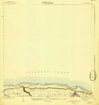
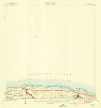
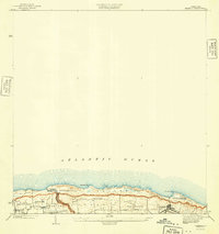
Editions of this 1941 Isabela Map
5 editions found
Other maps of this area

1937 · Aguadilla
USGS Topo · 1:20,000

1937 · Moca
USGS Topo · 1:20,000

1938 · Quebradillas
USGS Topo · 1:20,000

1941 · Moca
USGS Topo · 1:30,000

1941 · Isabela
USGS Topo · 1:30,000

1942 · Moca
USGS Topo · 1:30,000

1942 · Aguadilla
USGS Topo · 1:30,000
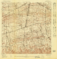
1950 · Moca NE
USGS Topo · 1:10,000
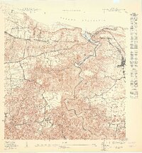
1950 · Quebradillas NO
USGS Topo · 1:10,000
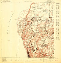
1950 · Aguadilla NE
USGS Topo · 1:10,000
Featured Places
- Isabela
- Sector Quique Bravo, Isabela
- Reparto Santa María, Isabela
- Jardín Miramar, Isabela
- Bajura, Isabela