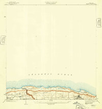
1941 Map of Isabela
USGS Topo · Published 1941About this map
Coastal settlements along the northwestern shore of Puerto Rico dominate this landscape, which was surveyed between the world wars. The town of Isabela sits as a primary hub, connected to the surrounding barrios by the A RR Of PR. The map reveals a dense network of local communities including Maleza Alta, Aguacate, and Montaña, reflecting the established agricultural and residential patterns of the early 20th century. Cultural life is anchored by landmarks such as the Iglesia Presbiteriana de Montaña and Iglesia Catolica. Along the Atlantic coast, the shoreline is defined by prominent features like Pta Jacinto and Pta Sardina, while the inland terrain is carved by the Quebrada de los Cedros. The boundary between Municipio Aguadilla and Municipio Isabela is clearly delineated, showing the administrative divisions of the era.
Find a feature on this map
20 named features on this map. Tap any name to fly to it.
Don’t see what you’re looking for? This feature index may not catch every label — zoom into the map to look around manually.
Map Details
Editions of this 1941 Isabela Map
5 editions found
Other maps of this area

1937 · Aguadilla
USGS Topo · 1:20,000

1937 · Moca
USGS Topo · 1:20,000

1938 · Quebradillas
USGS Topo · 1:20,000

1941 · Moca
USGS Topo · 1:30,000

1941 · Isabela
USGS Topo · 1:30,000

1942 · Moca
USGS Topo · 1:30,000

1942 · Aguadilla
USGS Topo · 1:30,000
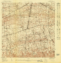
1950 · Moca NE
USGS Topo · 1:10,000
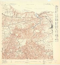
1950 · Quebradillas NO
USGS Topo · 1:10,000
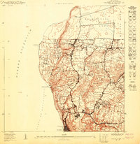
1950 · Aguadilla NE
USGS Topo · 1:10,000
Featured Places
- Isabela
- Sector Quique Bravo, Isabela
- Reparto Santa María, Isabela
- Jardín Miramar, Isabela
- Bajura, Isabela