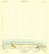
1941 Map of Isabela
USGS Topo · Published 1941About this map
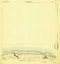
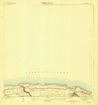
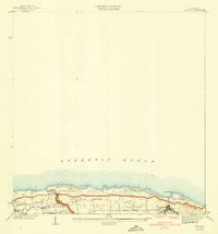
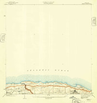
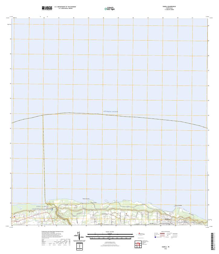
The coastal municipality of Municipio de Isabela is defined by its dramatic position overlooking the Atlantic Ocean. Revised in the late 1930s, this survey highlights the primary settlement of Isabela and its vital transport links, including the A RR of PR corridor and the winding Camino Jobos. The landscape transitions from the rugged shoreline at Pta Jacinto and Pta Sardina to the agricultural interior where local community life centered on landmarks like the Iglesia Presbiteriana de Montaña and Iglesia Catolica. Smaller settlements such as San Antonio and Aguacate are documented, providing a precise look at the rural settlement patterns and local infrastructure of Northwest Puerto Rico before mid-century modernization transformed the region.
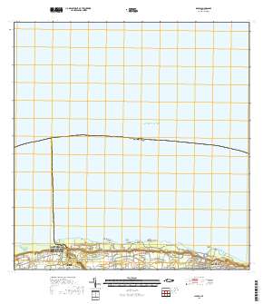
Find a feature on this map
11 named features on this map. Tap any name to fly to it.
Don’t see what you’re looking for? This feature index may not catch every label — zoom into the map to look around manually.
Map Details
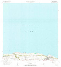
Editions of this 1941 Isabela Map
5 editions found
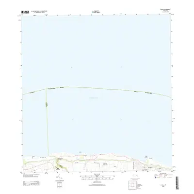
Historical Maps of Isabela Through Time
5 maps found
Featured Locations
- Isabela, Isabela
- Jardín Miramar, Isabela
- Bajura, Isabela
- Sector Quique Bravo, Isabela
- Reparto Santa María, Isabela