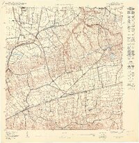
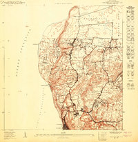
1950 Map of Moca NO
USGS Topo · Published 1950About this map
Reservación Militar Maleza Alta occupies the northwestern corner of this landscape, a significant federal footprint alongside the rural barrios of Aguacate and Montaña. The 1950 topography shows a region defined by its rail connectivity, with a line linking the inland hills to the coast via Estación Arenales, Estación Montaña, and Estación Santiago. These stations served as vital gathering points for the surrounding agricultural communities.
Find a feature on this map
21 named features on this map. Tap any name to fly to it.
Don’t see what you’re looking for? This feature index may not catch every label — zoom into the map to look around manually.
Map Details
Editions of this 1950 Moca NO Map
This is the sole edition of this map. No revisions or reprints were ever made.
Other maps of this area

1937 · Aguadilla
USGS Topo · 1:20,000

1937 · Moca
USGS Topo · 1:20,000

1941 · Moca
USGS Topo · 1:30,000

1941 · Isabela
USGS Topo · 1:30,000

1942 · Moca
USGS Topo · 1:30,000

1942 · Aguadilla
USGS Topo · 1:30,000
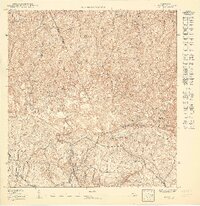
1950 · Moca SE
USGS Topo · 1:10,000
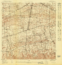
1950 · Moca NE
USGS Topo · 1:10,000
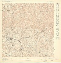
1950 · Moca SO
USGS Topo · 1:10,000
1950 · Aguadilla NE
USGS Topo · 1:10,000
Featured Places
- Reparto Villa y Mar, Isabela
- Sector Zambrana, Aguadilla
- Reparto Santa María, Aguadilla
- Villa Fontana, Aguadilla
- Mansiones del Cielo, Aguadilla