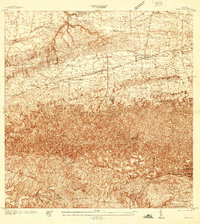
1937 Map of Moca
USGS Topo · Published 1937About this map
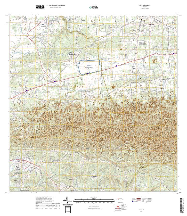
The American RR of Porto Rico cuts across the northern terrain of this 1937 survey, connecting rural outposts like Estacion Montana and Estacion Santiago. This interior landscape of northwestern Puerto Rico is defined by its agricultural and spiritual centers, featuring a dense network of local schools and churches. Prominent institutions include the Iglesia de la Virgen del Rosario and Iglesia Presbiteriana, alongside dozens of named educational sites such as Escuela Augusta Reichard and Escuela Juan A. Lasalle. The topography shifts from the more level lands near the Cementerio de Isabela in the north toward the varied heights of Monte Mariquita and the fertile basin of La Vega in the south. This era of mapping, completed under Commissioner Jose E. Colom, documents the traditional community boundaries where the Municipio de Aguadilla and Municipio de Isabela meet, centering on the winding course of the Rio Culebrinas.
Find a feature on this map
45 named features on this map. Tap any name to fly to it.
Don’t see what you’re looking for? This feature index may not catch every label — zoom into the map to look around manually.
Map Details
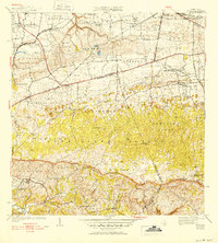
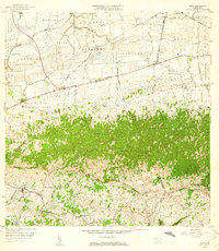
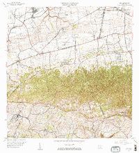
Editions of this 1937 Moca Map
2 editions found

Historical Maps of Moca Through Time
8 maps found

Featured Locations
- Reparto Méndez, Isabela
- Sector Los Laureles, Aguadilla
- Reparto Santa María, Aguadilla
- Sector Nieves, Moca
- Moca, Moca