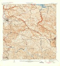
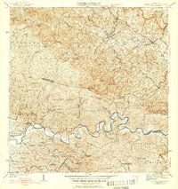
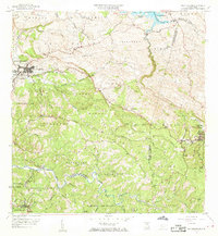
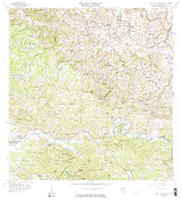
1941 Map of San Sebastian
USGS Topo · Published 1941About this map
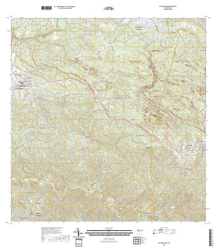
San Sebastian and Lares anchor this pre-war survey of Puerto Rico's mountainous interior, where the landscape is defined by the winding course of the Rio Grande de Añasco and the upper reaches of the Lago de Guajataca. The map reveals a deeply agricultural society centered around named haciendas and sugar production, most notably the Central Soler mill. These large estates, including Hacienda Esperanza, Hacienda San Pedro, and Hacienda Buena Vista, are linked by a network of roads and trails like Vereda Oliver. Community life is marked by local landmarks such as the Iglesia Santa Ana and the Acueducto de San Sebastian, while the intricate web of quebradas, such as Quebrada del Guama and Quebrada de los Muertos, reflects the rugged hydrography of the Cordillera Central.
Find a feature on this map
77 named features on this map. Tap any name to fly to it.
Don’t see what you’re looking for? This feature index may not catch every label — zoom into the map to look around manually.
Map Details
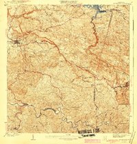
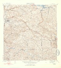
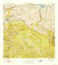
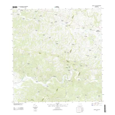
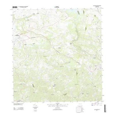
Editions of this 1941 San Sebastian Map
5 editions found

Historical Maps of San Sebastián Through Time
18 maps found

1938 Alto Sano
San Sebastián Municipio, PR

1938 San Sebastian
San Sebastián Municipio, PR
1941 San Sebastian
San Sebastián Municipio, PR
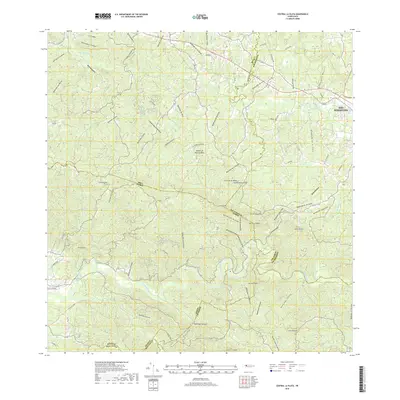
1942 Central La Plata
San Sebastián Municipio, PR

1946 Ciales
San Sebastián Municipio, PR
1950 Central La Plata NE
San Sebastián Municipio, PR

1950 San Sebastian NE
San Sebastián Municipio, PR
1950 San Sebastian NO
San Sebastián Municipio, PR
1950 San Sebastian SO
San Sebastián Municipio, PR

1953 Ciales
San Sebastián Municipio, PR

1955 Central La Plata
San Sebastián Municipio, PR
1958 San Sebastian
San Sebastián Municipio, PR
1964 Central La Plata
San Sebastián Municipio, PR
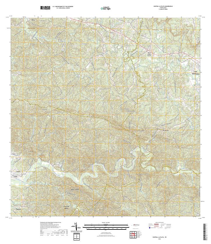
2013 Central La Plata
San Sebastián Municipio, PR
2013 San Sebastian
San Sebastián Municipio, PR
2018 Central La Plata
San Sebastián Municipio, PR
2024 Central La Plata
San Sebastián Municipio, PR
2024 San Sebastian
San Sebastián Municipio, PR
Featured Locations
- Sector Isidro Román, Lares
- Lares, Lares
- Sector Quinto Ríos, San Sebastián
- San Sebastián, San Sebastián
- Las Marías, Las Marías