2000s (21st Century) Maps of Manatí
Explore 12 historic maps of Manatí from the 2000s (21st Century). These maps offer a rare glimpse into what life looked like during the 2000s — showing old roads, neighborhoods, homes, and landmarks that have changed or disappeared over time.
Whether you're researching your family's past, planning a metal detecting trip, or studying how Manatí's landscape evolved across the 2000s, these high-resolution maps are a powerful tool for exploring the history of this region.
- Focus on a specific era: All maps on this page are from the 2000s, giving you a focused view of this time period.
- See what’s changed: Compare century-old streets, trails, and buildings to today's modern landscape using overlays and satellite layers.
- Research with precision: Use these maps for genealogy, historical research, land use analysis, or educational projects.
- View, download, or print: Maps are fully viewable online in high resolution, and can be downloaded or printed for your own records.
Start exploring Manatí's history through authentic maps from the 2000s. This is your window into the past.
Manatí maps
(12)- 2013 Map of Barceloneta, 2013 Print
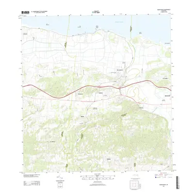 2013 Barceloneta2013 Print · USGSCovers Manatí, including Barceloneta, Sector Cerro Morales, and other nearby areas
 - 2013 Map of Manati, 2013 Print
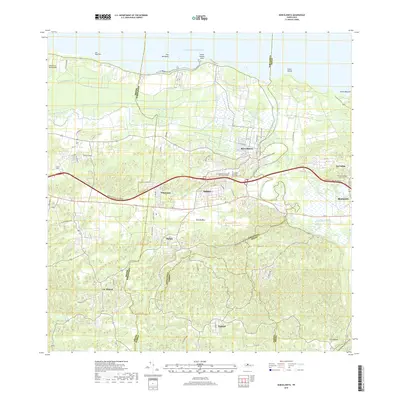
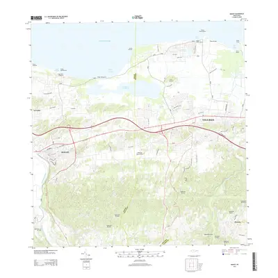 2013 Manati2013 Print · USGSCovers Manatí, including Vega Baja, Reparto Giovani, and other nearby areas
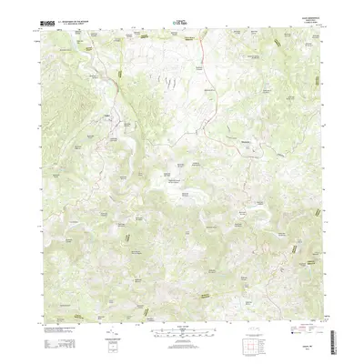
 - 2013 Map of Florida, 2013 Print
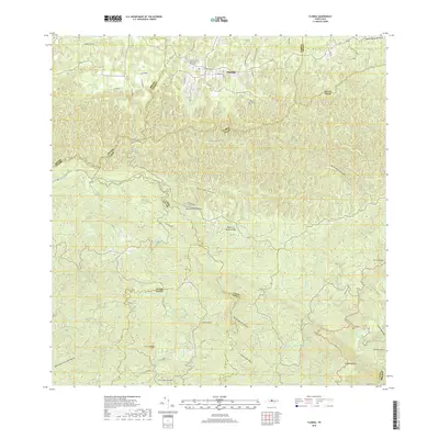
 2013 Florida2013 Print · USGSCovers Manatí, including Florida, Hacienda San José, and other nearby areas
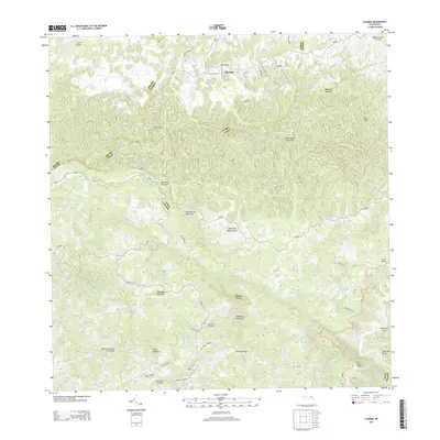
 - 2013 Map of Ciales, 2013 Print
 2013 Ciales2013 Print · USGSCovers Manatí, including Ciales, Morovis, and other nearby areas
 - 2018 Map of Barceloneta, 2018 Print
 2018 Barceloneta2018 Print · USGSCovers Manatí, including Barceloneta, Sector Cerro Morales, and other nearby areas
 - 2018 Map of Manati, 2018 Print
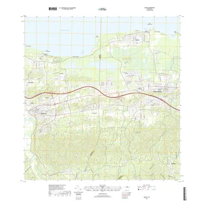 2018 Manati2018 Print · USGSCovers Manatí, including Vega Baja, Reparto Giovani, and other nearby areas
 - 2018 Map of Florida, 2018 Print
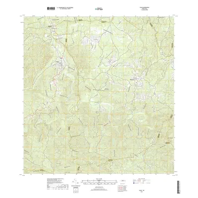
 2018 Florida2018 Print · USGSCovers Manatí, including Florida, Hacienda San José, and other nearby areas
 - 2018 Map of Ciales, 2018 Print
 2018 Ciales2018 Print · USGSCovers Manatí, including Ciales, Morovis, and other nearby areas
 - 2024 Map of Barceloneta, 2024 Print
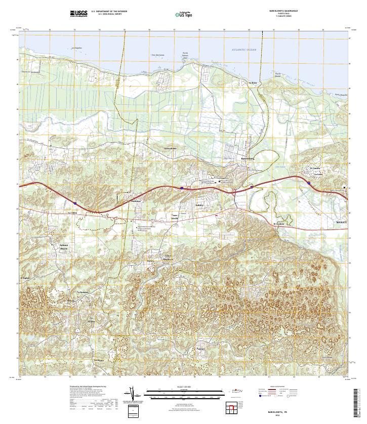 2024 Barceloneta2024 Print · USGSThe north coast of Puerto Rico comes alive in this survey of the river-and-road network around the Río Grande de Manatí. Researchers can trace local history through the Cementerio Municipal Barceloneta Viejo and old coastal settlements like La Boca.
 - 2024 Map of Florida, 2024 Print
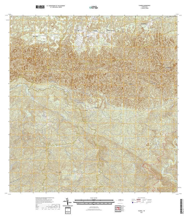 2024 Florida2024 Print · USGSThe central highlands of Puerto Rico come into focus in this contemporary survey, revealing the complex boundary lines and mountain peaks of the interior. Researchers can trace family ties through settlements like Florida and Selgas or locate the Cementerio Municipal de Florida.
 - 2024 Map of Manati, 2024 Print
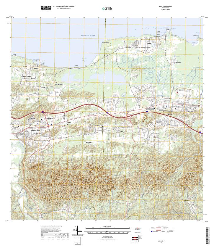 2024 Manati2024 Print · USGSCoastal northern Puerto Rico is documented here in recent years, showing the growth of major centers along the Atlantic shore. Genealogists and researchers can locate Cementerio Municipal de Manatí, trace the Río Grande de Manatí, and explore established barrios like Coto Norte.
 - 2024 Map of Ciales, 2024 Print
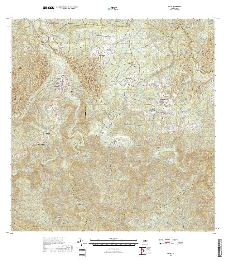 2024 Ciales2024 Print · USGSCiales and Morovis are documented in this contemporary survey of the Puerto Rican interior. Researchers can locate civic landmarks and burial grounds such as the Tribunal de Ciales, Morovis National Cem, and the Cementerio Municipal de Morovis.
End of results
Showing maps 1-12 of 12
Frequently asked questions
- What are the different types of historical maps available for Manatí?
- What is the oldest map of Manatí?
- Where can I purchase historical maps of Manatí for my home or office?
- Where can I download high-res historical maps of Manatí?
- Are there historical topographic maps available for Manatí?
- Is there historical aerial imagery available for Manatí?
- Where are historical maps of Manatí sourced from?