1900s (20th Century) Maps of Patillas
Explore 22 historic maps of Patillas from the 1900s (20th Century). These maps offer a rare glimpse into what life looked like during the 1900s — showing old roads, neighborhoods, homes, and landmarks that have changed or disappeared over time.
Whether you're researching your family's past, planning a metal detecting trip, or studying how Patillas's landscape evolved across the 1900s, these high-resolution maps are a powerful tool for exploring the history of this region.
- Focus on a specific era: All maps on this page are from the 1900s, giving you a focused view of this time period.
- See what’s changed: Compare century-old streets, trails, and buildings to today's modern landscape using overlays and satellite layers.
- Research with precision: Use these maps for genealogy, historical research, land use analysis, or educational projects.
- View, download, or print: Maps are fully viewable online in high resolution, and can be downloaded or printed for your own records.
Start exploring Patillas's history through authentic maps from the 1900s. This is your window into the past.
Patillas maps
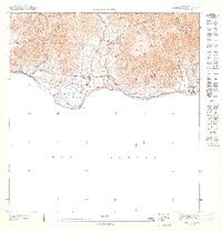
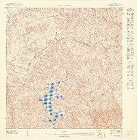
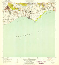
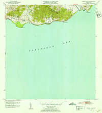
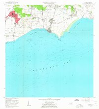
(22)- 1945 Map of Punta Tuna
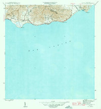 1945 Punta Tuna1945 Print · USGSCovers Patillas, including Barro Blanco, Sector María Marisca, and other nearby areas4 unique versions available
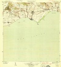
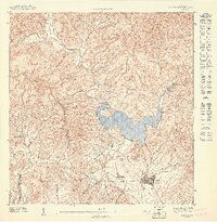
 - 1946 Map of Patillas
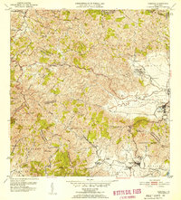
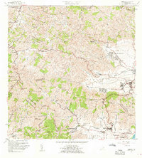
 1946 Patillas1946 Print · USGSCovers Patillas, including Sector Los Meléndez, Villa Kike, and other nearby areas2 unique versions available
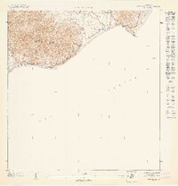
 - 1946 Map of Yabucoa
 1946 Yabucoa1946 Print · USGSCovers Patillas, including Yabucoa, Maunabo, and other nearby areas3 unique versions available
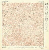
 - 1946 Map of Guayama
 1946 Guayama1946 Print · USGSCovers Patillas, including Guayama, Arroyo, and other nearby areas4 unique versions available
 - 1947 Map of Yabucoa SO
 1947 Yabucoa SO1947 Print · USGSCovers Patillas, including Ríos, Calabazas, and other nearby areas
 - 1947 Map of Patillas SO
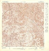
 1947 Patillas SO1947 Print · USGSCovers Patillas, including Cayey, Guayama, and other nearby areas
 - 1947 Map of Guayama NE
 1947 Guayama NE1947 Print · USGSCovers Patillas, including Arroyo, Sector Los Sánchez, and other nearby areas
 - 1947 Map of Punta Tuna NO
 1947 Punta Tuna NO1947 Print · USGSCovers Patillas, including Sector Higuero, Sector María Marisca, and other nearby areas
 - 1947 Map of Patillas SE
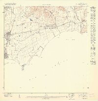
 1947 Patillas SE1947 Print · USGSCovers Patillas, including Sector Hormiga, El Remanso, and other nearby areas
 - 1947 Map of Punta Tuna NE
 1947 Punta Tuna NE1947 Print · USGSCovers Patillas, including Sector Bordaleza, Emajagua, and other nearby areas
 - 1947 Map of Patillas NE
 1947 Patillas NE1947 Print · USGSCovers Patillas, including Sector Goyo Rosario, Sector Campo Alegre, and other nearby areas
 - 1947 Map of Patillas NO
 1947 Patillas NO1947 Print · USGSCovers Patillas, including Sector Los Meléndez, Cayey, and other nearby areas
 - 1952 Map of Guayama, 1953 Print
 1952 Guayama1953 Print · USGSCovers Patillas, including Guayama, Arroyo, and other nearby areas2 unique versions available
 - 1952 Map of Yabucoa, 1953 Print
 1952 Yabucoa1953 Print · USGSCovers Patillas, including Yabucoa, Maunabo, and other nearby areas2 unique versions available
 - 1952 Map of Patillas, 1953 Print
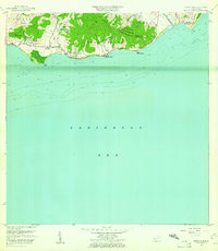
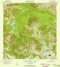 1952 Patillas1953 Print · USGSCovers Patillas, including Sector Los Meléndez, Villa Kike, and other nearby areas2 unique versions available
 - 1952 Map of Punta Tuna, 1953 Print
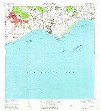
 1952 Punta Tuna1953 Print · USGSCovers Patillas, including Barro Blanco, Sector María Marisca, and other nearby areas2 unique versions available
 - 1960 Map of Yabucoa, 1961 Print
 1960 Yabucoa1961 Print · USGSCovers Patillas, including Yabucoa, Maunabo, and other nearby areas3 unique versions available
 - 1960 Map of Punta Tuna, 1961 Print
 1960 Punta Tuna1961 Print · USGSCovers Patillas, including Barro Blanco, Sector María Marisca, and other nearby areas2 unique versions available
 - 1960 Map of Patillas, 1962 Print
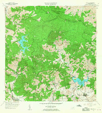 1960 Patillas1962 Print · USGSCovers Patillas, including Sector Los Meléndez, Villa Kike, and other nearby areas2 unique versions available
 - 1960 Map of Guayama, 1962 Print
 1960 Guayama1962 Print · USGSCovers Patillas, including Guayama, Arroyo, and other nearby areas2 unique versions available
 - 1970 Map of Guayama, 1972 Print
 1970 Guayama1972 Print · USGSCovers Patillas, including Guayama, Arroyo, and other nearby areas4 unique versions available
 - 1972 Map of Patillas, 1974 Print
 1972 Patillas1974 Print · USGSCovers Patillas, including Sector Los Meléndez, Villa Kike, and other nearby areas4 unique versions available
End of results
Showing maps 1-22 of 22
Frequently asked questions
- What are the different types of historical maps available for Patillas?
- What is the oldest map of Patillas?
- Where can I purchase historical maps of Patillas for my home or office?
- Where can I download high-res historical maps of Patillas?
- Are there historical topographic maps available for Patillas?
- Is there historical aerial imagery available for Patillas?
- Where are historical maps of Patillas sourced from?